← Back
✦ Historic site
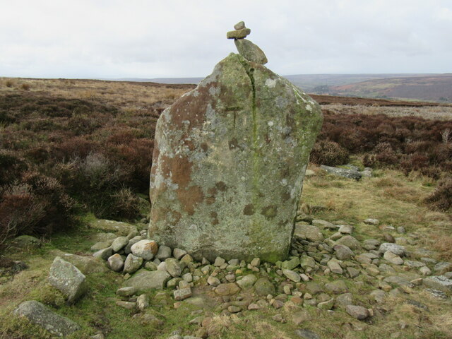
Danby Rigg cairnfields, cross dykes, funerary monuments and associated features
74 ha
Getting here
54.44732, -0.90834
Best for
4 activitiesHeritage
Free86%Historic site with public access
Wildlife
Free75%Ancient woodland
Dog walks
Free72%Dogs allowed with public access
Hiking
Free58%Named hiking route nearby: Samaritan Way
Trails nearby
Within roughly 5 km🚶
Walking
8
6 named nearby · 2 public paths
Named routePublic access
🚴
Cycling
16
16 named nearby
Named route
🚵
Mountain biking
1
1 named nearby
Named route
🐴
Horse riding
5
5 public paths
Public access
Named routes and paths nearby
Lyke Wake Walk · Walking0
Esk Valley Walk · Walking0
Samaritan Way · Walking0
Three Ridings on Foot · Walking0
Main Route · Cycling
Main Route · Cycling
Jack Sledge Road · bridleway
About this historic site
Scheduled Monument
Wildlife to spot
Photos
1 / 21
🌱 Visiting this spring
- 🌸Ancient woodlands are famous for bluebell carpets in April and May — one of Britain's most spectacular wildflower displays
- 🐦Prime nesting season — listen for woodpecker drumming, warbler song and the first cuckoos from April
- 🦌Roe deer are active before the leaf canopy closes in — dawn and dusk are best
✓ Public accessFree entry🐶 Dogs
Good to know
- £Free to visit — no entry charge
- 🐕Dogs welcome
- 🌿Ancient woodland — rare wildlife habitat
Weather for this location
Next 14 daysLoading local forecast…
Nearby places
Useful places within 5 km
✦Wolf Pit round barrow at the southern end of Danby Rigg, 810m south east of Falcon FarmHistoric site2.7 km→✦High Stone Dike, southern of two cross dykes on Castleton RiggHistoric site3.6 km→✦Hart Leap cross dyke on Glaisdale Rigg, 240m and 410m north of Highdale FarmHistoric site3.8 km→✦Crown End prehistoric settlements, field systems and associated featuresHistoric site4.4 km→✦Wolf PitHistoric site2.7 km→✦Castleton castle moundHistoric site2.8 km→