Plan your visit
Getting here
54.44504, -2.90145
Best for
3 activitiesHeritage
Strong match
Historic site with public access
Wildlife
Strong match
Ancient woodland
Dog walks
Good match
Dogs allowed with public access
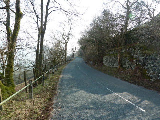
Trails nearby
Within roughly 5 km🚶Walking
v16 signed routes nearby · 4 public paths nearby
Signed route nearbyPublic paths
Walking
Miles without Stiles: Wray Castle to LoanthwaiteWalking route▾
Watbarrow Wood Waymarked Walk, Wray CastleWalking route1.1 km▾
Rought and uneven path with some steep sections around Watbarrow Wood.
Calf Parrock Waymarked Walk, Wray CastleWalking route900 m▾
Short walk to Calf Parrock Coppice and great viewpoint of the castle.
Ash Landing and Claife Heights Windermere Walk, Claife Viewing StationWalking route12 km▾
An elevated walk along Windermere's undeveloped western side. Dramatic viewing point at Low Blind How, where a gap in the wall leads to a crag with views of the lake, islands & Troutbeck fells. Some steep slopes, but once on the Heights its generally flat
Townend and Troutbeck Valley Walk, WindermereWalking route6.4 km▾
Explore classic Lakeland scenery on this walk from Brockhole, near Windermere, through Troutbeck Valley to the historic 17th-century farmhouse, Townend. Along the way, take in fell views, spot wildlife & admire traditional Lake District architecture.
🚴Cycling
v19 signed routes nearby
Signed route nearby
Cycling
Route 6Cycling route▾
Temporary redirection of NCN 6 due to storm damage
Regional Route 37Cycling route▾
Main RouteCycling route287 m▾
Main RouteCycling route236 m▾
Main RouteCycling route15 m▾
N/ACycling route19 m▾
🐴Horse riding
v1 public path nearby
Public paths
Horse riding
No named routes yet. Public paths are shown on the map.
About this historic site
Scheduled Monument
Wildlife to spot
Photos
15 photos from nearby open sources
v
Photos
15 photos from nearby open sources
Photos
Visiting this spring
Seasonal nature notes and what to look for now
v
Visiting this spring
Seasonal nature notes and what to look for now
- 🌸Ancient woodlands are famous for bluebell carpets in April and May — one of Britain's most spectacular wildflower displays
- 🐦Prime nesting season — listen for woodpecker drumming, warbler song and the first cuckoos from April
- 🦌Roe deer are active before the leaf canopy closes in — dawn and dusk are best
🌱 Visiting this spring
- 🌸Ancient woodlands are famous for bluebell carpets in April and May — one of Britain's most spectacular wildflower displays
- 🐦Prime nesting season — listen for woodpecker drumming, warbler song and the first cuckoos from April
- 🦌Roe deer are active before the leaf canopy closes in — dawn and dusk are best
Facilities
Parking
1 nearby · Free · 387m
Good to know
- £Free to visit — no entry charge
- 🐕Dogs welcome
- 🌿Ancient woodland — rare wildlife habitat
Weather for this location
Next 14 daysLoading local forecast…
Nearby places
Useful places within 5 km