✦ Historic site
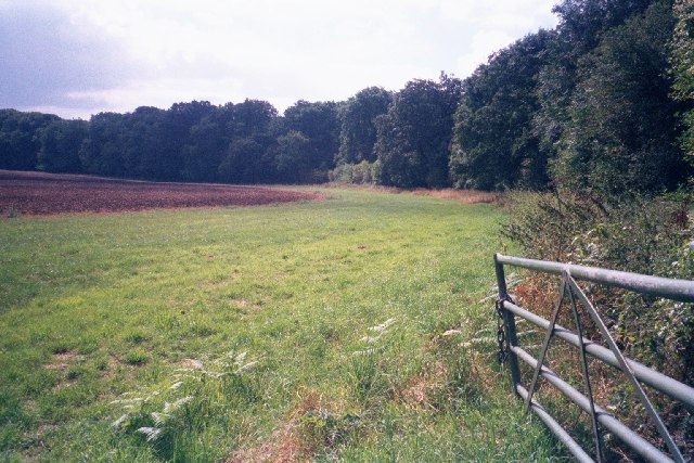
Bowl barrow 150m east of Waterman's Lodge: one of a pair of Bronze Age barrows on the western edge of Wychwood Forest
Plan your visit
Getting here
51.86059, -1.51722
Best for
4 activitiesHeritage
Strong match
Historic site with public access
Wildlife
Strong match
Ancient woodland
Dog walks
Good match
Dogs allowed with public access
Cycling
Good match
Named cycling route nearby: National Byway (Oxon and Glos)
Trails nearby
Within roughly 5 km🚶Walking
v5 signed routes nearby · 1 public path nearby
Signed route nearbyPublic paths
Walking
Oxfordshire WayWalking route110 km▾
a traverse of Oxfordshire from the Cotswolds to the Chilterns
Wychwood WayWalking route59.5 km▾
D'Arcy Dalton WayWalking route107 km▾
Follows roughly the western boundary of Oxfordshire in unspoilt countryside.
The Roman WayWalking route274.5 km▾
European walking route E2 west, UK, South East EnglandWalking route▾
Westroute: Stranraer (UK) - Birminhgham (UK) - Calais (FR) - Zoersel (BE) / Eastroute: Stranraer (UK) - Harwich (UK) - Rotterdam (NL) - Zoersel (BE) / Both Routes: Zoersel (BE) - Maastrich (NL) - Luxembourg (LUX) - Lake Geneva (CH) - Nice (FR)
Patch Ridingpublic footpath · 3.3 km▾
🚴Cycling
v36 signed routes nearby
Signed route nearby
Cycling
Cotswold Line Cycle RouteCycling route▾
National Byway (Oxon and Glos)Cycling route▾
Main RouteCycling route756 m▾
Main RouteCycling route449 m▾
Main RouteCycling route2.5 km▾
Main RouteCycling route430 m▾
About this historic site
Scheduled Monument
Wildlife to spot
Photos
15 photos from nearby open sources
v
Photos
15 photos from nearby open sources
Photos
Visiting this spring
Seasonal nature notes and what to look for now
v
Visiting this spring
Seasonal nature notes and what to look for now
- 🌸Ancient woodlands are famous for bluebell carpets in April and May — one of Britain's most spectacular wildflower displays
- 🐦Prime nesting season — listen for woodpecker drumming, warbler song and the first cuckoos from April
- 🦌Roe deer are active before the leaf canopy closes in — dawn and dusk are best
🌱 Visiting this spring
- 🌸Ancient woodlands are famous for bluebell carpets in April and May — one of Britain's most spectacular wildflower displays
- 🐦Prime nesting season — listen for woodpecker drumming, warbler song and the first cuckoos from April
- 🦌Roe deer are active before the leaf canopy closes in — dawn and dusk are best
Good to know
- £Free to visit — no entry charge
- 🐕Dogs welcome
- 🌿Ancient woodland — rare wildlife habitat
Weather for this location
Next 14 daysLoading local forecast…
Nearby places
Useful places within 5 km