Plan your visit
Getting here
52.06792, 1.36518
Best for
3 activitiesDog walks
Strong match
Dogs allowed with public access
Family friendly
Good match
Urban park — family destination
Picnic day out
Good match
Urban park — open green space
Trails nearby
Within roughly 5 km🚶Walking
v11 signed routes nearby · 8 public paths nearby
Signed route nearbyPublic paths
Walking
Sandlings WalkWalking route89 km▾
Southwold to Rushmere Heath on the outskirts of Ipswich
Kyson Hill and Kyson Point Walk, Kyson HillWalking route3.7 km▾
Start involves going up a flight of steps over the railway line, the route is pushchair and wheelchair friendly, apart from one small section at high tide. Kyson Hill is a steep slope over grass and steep steps. May be muddy at certain times.
Rendlesham Forest UFO TrailWalking route▾
Fynn Valley WalkWalking route▾
Marshes, Mudflats and Woodbridge Circular Walk, Kyson HillWalking route6.4 km▾
Some steep slopes over grass and steps. May be muddy at certain times. Waterproof footwear may be necessary.
Church Roadpublic footpath · 672 m▾
Methersgate Hall Drivepublic footpath · 984 m▾
🚴Cycling
v30 signed routes nearby
Signed route nearby
Cycling
Route 41Cycling route▾
NCN National Route 1Cycling route▾
EuroVelo 12 - North Sea Cycle Route - part United Kingdom 1Cycling route▾
Wolf WayCycling route400 km▾
N/ACycling route6.8 km▾
Main RouteCycling route225 m▾
🚵Mountain biking
v1 signed route nearby
Signed route nearby
Mountain biking
Tang TrailMountain bike route▾
🐴Horse riding
v5 public paths nearby
Public paths
Horse riding
Old Postoffice Lanebyway open to all traffic · 399 m▾
Church Roadbyway open to all traffic · 149 m▾
About this urban park
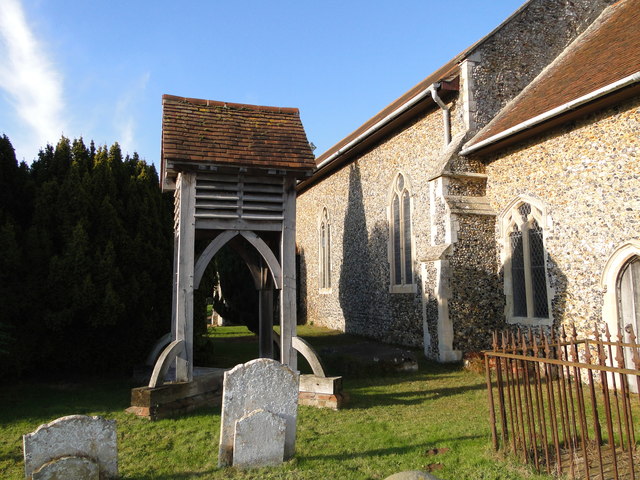
All Saints' Church is a urban park covering 7 hectares.
Wildlife to spot
Photos
15 photos from nearby open sources
v
Photos
15 photos from nearby open sources
Photos
Visiting this spring
Seasonal nature notes and what to look for now
v
Visiting this spring
Seasonal nature notes and what to look for now
- 🐦Prime nesting season — listen for woodpecker drumming, warbler song and the first cuckoos from April
- 🦌Roe deer are active before the leaf canopy closes in — dawn and dusk are best
🌱 Visiting this spring
- 🐦Prime nesting season — listen for woodpecker drumming, warbler song and the first cuckoos from April
- 🦌Roe deer are active before the leaf canopy closes in — dawn and dusk are best
Facilities
Parking
Customers · 216m
Good to know
- £Free to visit — no entry charge
- 🐕Dogs welcome
Weather for this location
Next 14 daysLoading local forecast…
Nearby places
Useful places within 5 km