Plan your visit
Getting here
52.94627, 0.73059
Best for
6 activitiesPlaygrounds
Strong match
playground, café, parking
Cycling
Good match
Named cycling route nearby: NCN National Route 1
Dog walks
Good match
Dogs allowed with public access
Farm visits
Good match
Farm shop nearby
Hiking
Moderate match
Named hiking route nearby: Burnhams Circular
Heritage
Moderate match
Religious grounds — local heritage
Trails nearby
Within roughly 5 km🚶Walking
v5 signed routes nearby · 4 public paths nearby
Signed route nearbyPublic paths
Walking
Brancaster Staithe Wildlife Walk, BrancasterWalking route6.1 km▾
Mostly flat surfaces with some slopes, some parts can be muddy during winter, so adequate footwear may be necessary.
Burnham Overy Staithe Walk, Burnham OveryWalking route6.4 km▾
Town roads, field paths, grass tracks and stiles. Suitable footwear may be necessary after wet weather.
Norfolk Coast PathWalking route191.7 km▾
Burnhams CircularWalking route4.5 km▾
A delightful walk taking in historic Burnham Overy Staithe, Burnham Overy Town and Burnham Norton. The route crosses the River Burn twice and passes through farmland, past churches, mills, the ruins of a Carmelite friary and winding creeks.
Brancaster Staithe CircularWalking route7.6 km▾
Head up to the high ground of Barrow Common and enjoy stunning views before walking alongside the creeks of Brancaster Marsh and finishing back near the mall coastal hub at Burnham Deepdale.
Angles Lanepublic footpath · 481 m▾
🚴Cycling
v16 signed routes nearby
Signed route nearby
Cycling
EuroVelo 12 - North Sea Cycle Route - part United Kingdom 2Cycling route▾
Norwich - Lincoln
NCN National Route 1Cycling route▾
Rebellion WayCycling route373 km▾
Regional Cycle Route 30Cycling route373 km▾
NCN National Route 1Cycling route▾
Main RouteCycling route484 m▾
🐴Horse riding
v1 public path nearby
Public paths
Horse riding
Cross Lanerestricted byway · 453 m▾
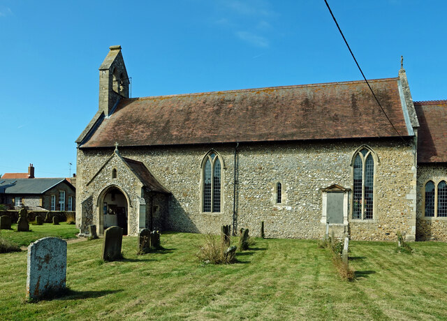
About this religious grounds
All Saints' Church is a religious grounds.
Wildlife to spot
Photos
21 photos from nearby open sources
v
Photos
21 photos from nearby open sources
Photos
Visiting this spring
Seasonal nature notes and what to look for now
v
Visiting this spring
Seasonal nature notes and what to look for now
- 🐦Prime nesting season — listen for woodpecker drumming, warbler song and the first cuckoos from April
- 🦌Roe deer are active before the leaf canopy closes in — dawn and dusk are best
🌱 Visiting this spring
- 🐦Prime nesting season — listen for woodpecker drumming, warbler song and the first cuckoos from April
- 🦌Roe deer are active before the leaf canopy closes in — dawn and dusk are best
Facilities
Café
The Burnhams Tea Room and Cafe · 270m
Parking
Pay and Display · Paid · 244m
Playground
250m away
Farm visit
2 · 250m away
Good to know
- £Free to visit — no entry charge
- 🐕Dogs welcome
Weather for this location
Next 14 daysLoading local forecast…
Nearby places
Useful places within 5 km