← Back
✦ Historic site
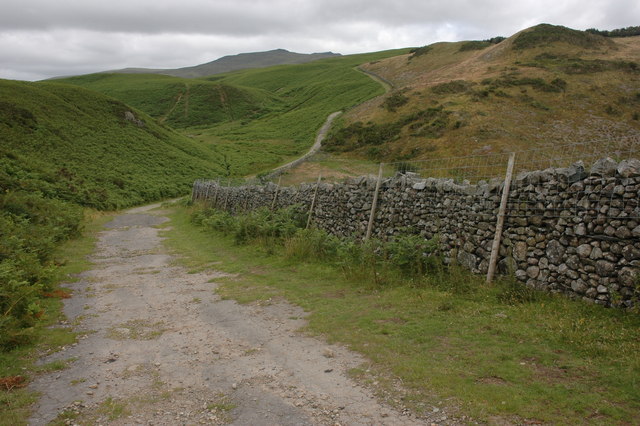
Prehistoric cairnfields, funerary cairns, ring cairns, hut circles, field systems and a medieval enclosed field system on Bootle Fell
122 ha
Getting here
54.29222, -3.33817
Best for
2 activitiesHeritage
Free76%Historic site
Wildlife
Free75%Ancient woodland
Trails nearby
Within roughly 5 km🚶
Walking
2
2 named nearby
Named route
🐴
Horse riding
3
3 public paths
Public access
Named routes and paths nearby
King Charles III England Coast Path: Whitehaven to Silecroft · Walking0
Cumbria Coastal Way · Walking298 km
Corney Fell Road · bridleway
About this historic site
Scheduled Monument
Wildlife to spot
Photos
1 / 15
🌱 Visiting this spring
- 🌸Ancient woodlands are famous for bluebell carpets in April and May — one of Britain's most spectacular wildflower displays
- 🐦Prime nesting season — listen for woodpecker drumming, warbler song and the first cuckoos from April
- 🦌Roe deer are active before the leaf canopy closes in — dawn and dusk are best
Free entry🐶 Dogs
Good to know
- £Free to visit — no entry charge
- 🐕Dogs welcome
- 🌿Ancient woodland — rare wildlife habitat
- 🌳Large woodland — room to roam
Weather for this location
Next 14 daysLoading local forecast…
Nearby places
Useful places within 5 km
✦Prehistoric cairnfields, field systems, hut circles and a farmstead on Corney Fell, 440m north west of Buckbarow BridgeHistoric site1.2 km→✦Prehistoric stone circle, trackway, cairnfields, funerary cairns, hut circles, Romano-British farmstead and a medieval field system, 1.1km SE of StaintonHistoric site4.5 km→⛪St Michael's ChurchReligious grounds2.5 km→✦Swinside Stone CircleHistoric site4.3 km→✦Lath Rigg prehistoric cairnfield, hut circle and field system on Thwaites Fell 600m NNW of Thwaite YeatHistoric site4.9 km→✦Sunkenkirk Stone Circle, 230m south east of SwinsideHistoric site4.3 km→