Getting here
53.26440, -1.77048
Best for
3 activitiesDog walks
Free78%Dogs allowed with public access
Family friendly
Free68%Urban park — family destination
Picnic day out
Free62%Urban park — open green space
Trails nearby
Within roughly 5 km🚶
Walking
11
5 named nearby · 6 public paths
Named routePublic access
🚴
Cycling
18
18 named nearby
Named route
🚵
Mountain biking
1
1 named nearby
Named route
Named routes and paths nearby
Midshires Way · Walking370 km
Limestone Way · Walking74 km
White Peak Loop - Link to Monsal Trail · Walking0
Monsal Trail · Cycling0
Main Route · Cycling
Main Route · Cycling
Tideswell Dale · public footpath
About this urban park
Tideswell Dale Picnic Area is a urban park.
Wildlife to spot
Photos
1 / 15
🌱 Visiting this spring
- 🐦Prime nesting season — listen for woodpecker drumming, warbler song and the first cuckoos from April
- 🦌Roe deer are active before the leaf canopy closes in — dawn and dusk are best
Facilities
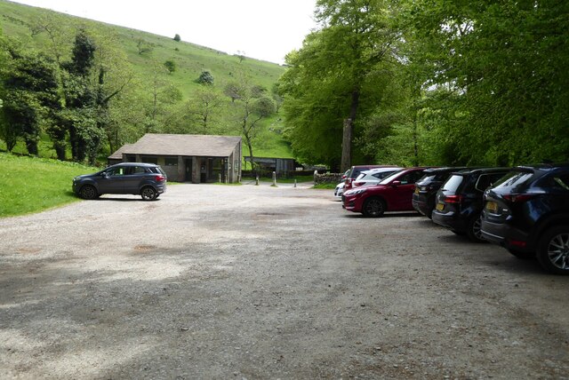
🅿️
Parking
1 nearby · 33m
🧺
Picnic spot
2 · 27m away
🚻
Toilets
20m away
✓ Public accessFree entry🐶 Dogs
Good to know
- £Free to visit — no entry charge
- 🐕Dogs welcome
Weather for this location
Next 14 daysLoading local forecast…
Nearby places
Useful places within 5 km
✦Lees and Dove Rakes, Booth Lee Pipes and Sterndale SoughHistoric site1.5 km→✦Dimin Dale Romano-British settlement and field system, south of Taddington WoodHistoric site4.2 km→✦Maury Mine and SoughHistoric site1.4 km→⛪St John the Baptist's ChurchReligious grounds1.6 km→✦Arbourseats Veins and Sough, Wardlow Sough, Nay Green Mine and Washing Floors, Hading Vein and Seedlow RakeHistoric site2 km→✦Cackle Mackle and Stadford Hollow lead mines on Longstone MoorHistoric site3.8 km→