Getting here
50.89607, -2.64124
Best for
7 activitiesPicnic day out
Free95%picnic area, toilets, car park; Reservoir — waterside day out
Family friendly
Free78%toilets, picnic area
Waterside walks
Varies75%parking, toilets; Reservoir — waterside public access
Cycling
Varies72%Named cycling route nearby: Route 26
Dog walks
Free72%Dogs allowed with public access
Wildlife
Free70%Reservoir — wildfowl and wading birds
Trails nearby
Within roughly 5 km🚶
Walking
5
2 named nearby · 3 public paths
Named routePublic access
🚴
Cycling
24
24 named nearby
Named route
🐴
Horse riding
3
3 public paths
Public access
Named routes and paths nearby
Monarch's Way · Walking990 km
Macmillan Way · Walking290 km
Route 26 · Cycling0
South Somerset Cycleway · Cycling0
Main Route · Cycling
Main Route · Cycling
Isles Lane · bridleway
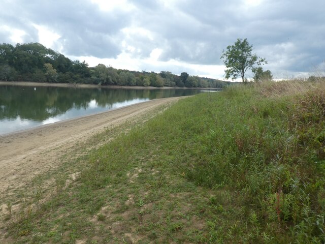
About this reservoir
Sutton Bingham is a reservoir covering 204 hectares managed by Forestry England within their forest estate.
Wildlife to spot
Photos
1 / 22
🌱 Visiting this spring
- 🐦Prime nesting season — listen for woodpecker drumming, warbler song and the first cuckoos from April
- 🦌Roe deer are active before the leaf canopy closes in — dawn and dusk are best
Facilities
🅿️
Parking
1 nearby · Free · 308m
🧺
Picnic spot
279m away
🚻
Toilets
291m away
✓ Public accessFree entry🐶 Dogs
Good to know
- £Free to visit — no entry charge
- 🐕Dogs welcome
- 🌳Large woodland — room to roam
Weather for this location
Next 14 daysLoading local forecast…
Nearby places
Useful places within 5 km