Plan your visit
Getting here
54.36039, -2.92326
Best for
6 activitiesPlaygrounds
Strong match
playground, toilets, parking
Dog walks
Strong match
Dogs allowed with public access
Cycling
Good match
Named cycling route nearby: Route 6
Family friendly
Good match
Urban park — family destination
Picnic day out
Good match
Urban park — open green space
Hiking
Moderate match
Named hiking route nearby: Post Knott, Windermere Views Walk, Windermere
Trails nearby
Within roughly 5 km🚶Walking
v17 signed routes nearby · 5 public paths nearby
Signed route nearbyPublic paths
Walking
Dales WayWalking route129 km▾
Miles without Stiles: Wray Castle to LoanthwaiteWalking route▾
Watbarrow Wood Waymarked Walk, Wray CastleWalking route1.1 km▾
Rought and uneven path with some steep sections around Watbarrow Wood.
Calf Parrock Waymarked Walk, Wray CastleWalking route900 m▾
Short walk to Calf Parrock Coppice and great viewpoint of the castle.
Beatrix Potter's Moss Eccles Tarn Walk, Hill TopWalking route4 km▾
Gentle walk to 1 of Beatrix Potter's favourite places, Moss Eccles Tarn. This is where the children's author spent time painting & is a great introduction to the place included in her books. Short steep sections. Muddy in wet weather. Potential livestock
🚴Cycling
v36 signed routes nearby
Signed route nearby
Cycling
Route 6Cycling route▾
Main RouteCycling route236 m▾
Main RouteCycling route15 m▾
Main RouteCycling route28 m▾
Main RouteCycling route96 m▾
Main RouteCycling route2 km▾
🚵Mountain biking
v2 signed routes nearby
Signed route nearby
Mountain biking
Silurian WayMountain bike route▾
Grizedale Tarn TrailMountain bike route▾
🐴Horse riding
v1 public path nearby
Public paths
Horse riding
No named routes yet. Public paths are shown on the map.
About this urban park
Coronation Park is a urban park covering 1 hectares.
Wildlife to spot
Photos
21 photos from nearby open sources
v
Photos
21 photos from nearby open sources
Photos
Visiting this spring
Seasonal nature notes and what to look for now
v
Visiting this spring
Seasonal nature notes and what to look for now
- 🐦Prime nesting season — listen for woodpecker drumming, warbler song and the first cuckoos from April
- 🦌Roe deer are active before the leaf canopy closes in — dawn and dusk are best
🌱 Visiting this spring
- 🐦Prime nesting season — listen for woodpecker drumming, warbler song and the first cuckoos from April
- 🦌Roe deer are active before the leaf canopy closes in — dawn and dusk are best
Facilities
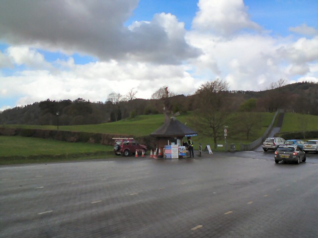
Parking
Glebe Road Car Park · Paid · 96m
Picnic spot
2 · 173m away
Playground
253m away
Toilets
2 · 175m away
Good to know
- £Free to visit — no entry charge
- 🐕Dogs welcome
Weather for this location
Next 14 daysLoading local forecast…
Nearby places
Useful places within 5 km