Tegg's Nose and the Macclesfield Hills: A Complete Guide to the Area
Tegg's Nose Country Park sits on the western edge of the Peak District with quarry history, reservoir walks, ancient woodland, and 65+ bird species. Here's everything nearby.

Tegg's Nose and the Macclesfield Hills: Everything Worth Knowing About the Area
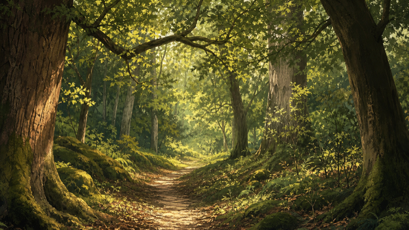
Tegg's Nose Country Park doesn't look like much from the car park at SK11 0AP. A scrubby moorland edge, a quarry face, a stiff climb. But push ten minutes up the ridge and something shifts - the Cheshire Plain opens up below, the Peak District rises behind you, and you start to understand why this particular corner of the Macclesfield Hills draws people back repeatedly.
The park itself is only part of the picture. Within a few kilometres there are four reservoirs, ancient woodland, a scatter of Bronze Age monuments, a listed folly with views across two counties, and one of the best year-round birdwatching sites in Cheshire. This guide covers all of it.
Tegg's Nose — mapped areas
4 areasTEGGS NOSE
Tegg's Nose Country Park
Tegg's Nose Country Park
Tegg's Nose Quarry
Tegg's Nose Country Park
The park takes its name from the rock outcrop at its heart — "tegg" is an old dialect word for a sheep in its second year, though the connection between that and a ridge of millstone grit is anyone's guess. What's certain is the geology: this is gritstone country, the same hard rock that underlies much of the Dark Peak, and the evidence of human activity in it runs deep.
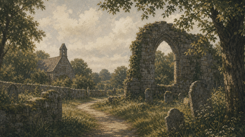
The quarry is the most visible feature and worth lingering over. Millstone grit was worked here from at least the seventeenth century — the stone went into buildings across Macclesfield and beyond. The old grinding stones left behind give it an almost sculptural quality in low light. Tegg's Nose Quarry on Glade is a registered historic site with an ancient designation — one of a cluster of heritage features in the area that most walkers pass without registering.
The views are the reason most people come back. From the ridge path, the Cheshire Plain stretches west towards Wales on clear days. Jodrell Bank's dish is visible. To the east, the moorland rises into the Peak District proper. It's a rare spot where you can stand on a genuine boundary between pastoral lowland and upland wilderness and see both.
On Glade: Tegg's Nose Country Park is mapped as a single 52.81ha country park area, with several individual woodland parcels also recorded within it — including a 19.7ha ancient broadleaved section at the core, a mixed woodland section near the car park, Rock Wood on the western flank, and Brookhouse Clough in the valley below.
Official: Cheshire East Council — Tegg's Nose Country Park
Practicalities: Free entry, dogs welcome throughout. The main car park on Buxton Old Road is free — open in Google Maps · open in Apple Maps. Toilets near the car park. Multiple circular routes from 1.5 to 6+ km. The Nose Coffee is on site at Windyway Kennels, 0.7km from the main entrance on the road towards the summit.
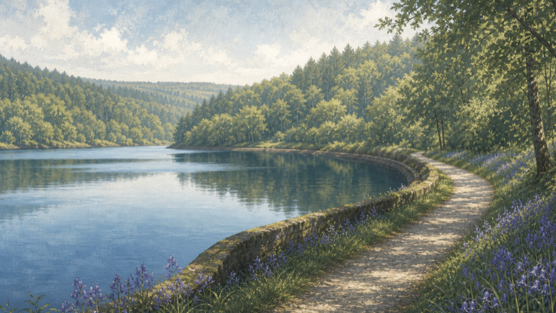
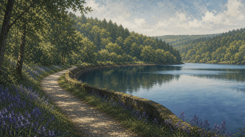
The Reservoirs: Lamaload, Ridgegate, Bottoms, and Trentabank
Within 3.5km of the Tegg's Nose car park there are four reservoirs. The Pennine edge was heavily developed in the nineteenth century to supply Macclesfield with water. The consequence, largely unintended by the Victorian engineers who built them, is a series of quiet waterside environments that are now among the best wildlife habitats in the county.
Lamaload Reservoir
At nearly 50 hectares, Lamaload is the largest of the group. It sits in a quiet valley 2.6km from Tegg's Nose, surrounded by rough moorland and rough-grazed hillside. The access road is single-track. This is not a honeypot, and it's better for it. Free access, dogs welcome.
Bottoms Reservoir
Bottoms is the smallest at 8 hectares but connects naturally to the Ridgegate and Trentabank circuit on foot. The valley here is quiet and largely unvisited — a good extension to a Trentabank visit.
Ridgegate Reservoir
Ridgegate sits at the upper edge of Macclesfield Forest, about 20 hectares, connecting the open moorland with the denser forest cover below. Walk through to reach Trentabank.
Trentabank Reservoir
Trentabank is the most developed of the four — there's a proper car park (Trentabank Car Park, 188m from the water's edge), two picnic areas, and toilets. At 23 hectares it's a good size for a walk around the water's edge, and the wildlife data here is striking: more than 65 bird species have been logged via the National Biodiversity Network, including wildfowl, wading birds, and a range of woodland species from the surrounding forest. Mallard, Canada Goose, and Coot are regulars.
Trentabank is also one of the best sites in northern England to see ospreys. The birds have nested here in recent years, and a viewing platform near the water gives a good vantage point during the breeding season (April–August). United Utilities manages the reservoir estate; osprey monitoring is coordinated with local wildlife groups.
The four reservoirs can be combined into a 7–10km circuit from the Tegg's Nose car park, linking moorland, forest edge, and waterside in a single outing.
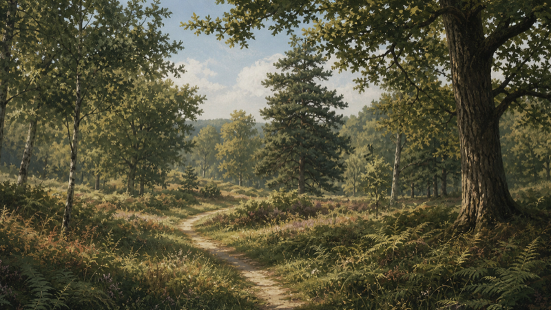
Macclesfield Forest
The Forest of Macclesfield is old — it was a medieval royal hunting forest, though the modern planted woodland bears little resemblance to what stood here in the thirteenth century. The current forest is largely conifer plantation, but it's a substantial block and provides the backdrop for the reservoir walks as well as its own network of waymarked trails.
For families, Trentabank is the easiest entry point — good facilities and picnic areas in the forest edge. For longer walks, the trails connect south to Shutlingsloe, the cone-shaped hill that dominates the skyline to the east and is arguably the best single viewpoint in the area.
Shores Clough, a 2.2ha broadleaved woodland in the valley below Tegg's Nose, gives a sense of what older Macclesfield Forest woodland looked like before the twentieth-century planting.
Official: Forestry England — Macclesfield Forest
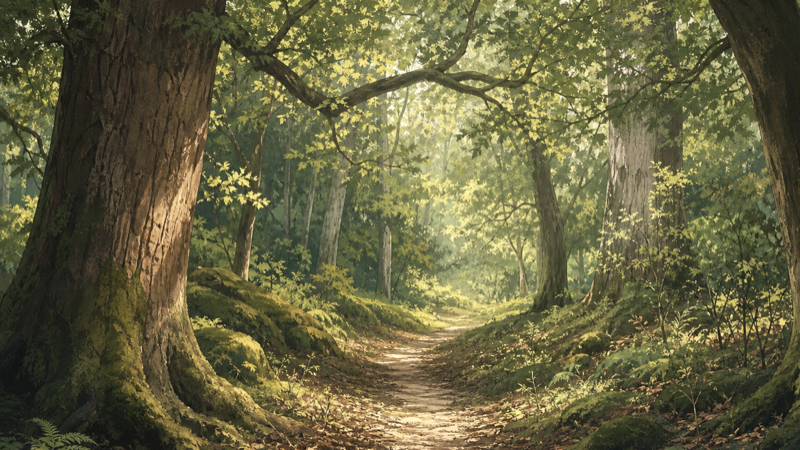
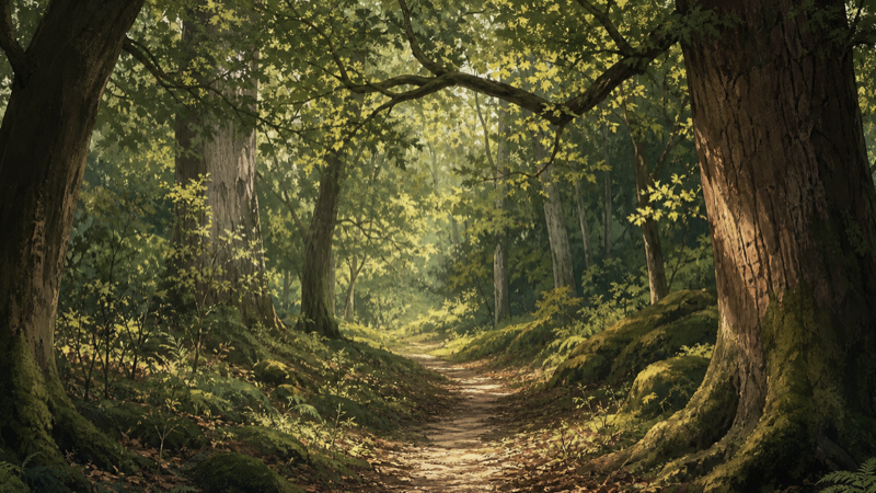
Ancient Woodland: The Oaks
About 1.6km from the Tegg's Nose car park, The Oaks is a 7.5-hectare ancient broadleaved woodland — continuously wooded since before 1600. Ancient woodland in the Peak District fringe is rare enough to be worth seeking out. The ground flora in spring (wood anemone, wood sorrel, early purple orchid in good years) is the diagnostic sign. It has no visitor car park of its own; access is best on foot from the country park or from the lanes above Rainow.
Bronze Age Heritage
This is the part of the Tegg's Nose area that gets the least attention and perhaps deserves the most. Within 2.5km of the car park there are several scheduled prehistoric monuments:
- Standing stone at Ginclough (~2.2km) — a single standing stone 400m WSW of Gin Clough Farm, thought to date to the Bronze Age
- Yearn's Low bowl barrow (~2.3km) — a burial mound, now degraded but visible as a rise in the moorland
- Bowl barrow west of Black Rock Farm (~2.5km) — similar character, similar date
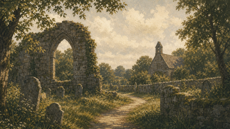
- Mellor's Gardens (~2.1km) — a historically designated site with ancient features, 0.9ha
None of these are signposted or fenced — they sit in working moorland and fields. A 1:25,000 OS map (Explorer OL24) is essential if you want to find them.
The density of Bronze Age activity here is a reminder that the Pennine edge was far more populated in prehistory than it appears today. The moorland is secondary habitat — medieval clearance, centuries of grazing, and Victorian drainage and planting came later. The barrows predate all of that.
Further reading: Historic England — The National Heritage List for England — all of these sites are listed; search by name to see their full records and scheduled monument designations.
White Nancy
At 3.1km from the Tegg's Nose car park, White Nancy sits on the summit of Kerridge Hill above Bollington — a small, white, domed structure visible from miles in every direction. It was built in 1817 to commemorate the Battle of Waterloo, originally hollow and used as a summerhouse, now sealed. It's a listed structure and one of the most distinctive landmarks on the Pennine edge.
The route from Tegg's Nose along the ridge to White Nancy and down into Bollington makes an excellent linear walk; the Middlewood Way provides a return if you've arranged transport, or the road from Bollington back up to the Tegg's Nose car park completes a satisfying circuit.
The Gritstone Trail
The Gritstone Trail is a 56km long-distance walking route running from Disley (near Stockport) to Kidsgrove in Staffordshire. It passes through or near Tegg's Nose and forms the backbone of several multi-day itineraries through this part of the Peak District fringe.
The section through the Macclesfield Hills — from above Rainow through the Tegg's Nose ridge and south towards Macclesfield Forest — is one of the best days on the trail: varied terrain, long views, and manageable going compared to the heather moorland further south. Windyway Kennels and Animal Sanctuary sits directly on the Gritstone Trail corridor and makes a logical stop.
For a linear day walk using public transport, the trail can be picked up at Rainow (buses from Macclesfield) and followed south to the forest, returning via trail or road.
Wildlife at Its Best
The area's wildlife is strongest at Trentabank, but the broader landscape rewards patient attention throughout the year. The National Biodiversity Network (NBN Atlas) holds records for all of these sites — Trentabank alone has nearly 24,000 occurrence records.
Spring (March–May): Nesting season at Trentabank and the forest edge. The dawn chorus in Macclesfield Forest in April is exceptional. The Oaks has its best wildflower display in April–May. Curlew breed on the high ground east of Tegg's Nose. Ospreys typically return to Trentabank from late March.
Summer (June–August): Dragonflies and damselflies along the reservoir margins. Lapwing and golden plover on the rough pasture. More than 170 insect species have been recorded around Trentabank. Red grouse on the moorland above.
Autumn (September–November): The mixed forest sections around the reservoirs turn from September onwards — good for colour. Fungi appear from September, particularly in the older broadleaved areas. Winter wildfowl begin arriving at the reservoirs from October.
Winter (December–February): Bare canopy makes Trentabank excellent for bird watching — clearest sightlines of the year. Fieldfares and redwings from October through February. The Tegg's Nose ridge at its most dramatic on cold clear days.
The Nose Coffee and Windyway Kennels
Windyway Kennels and Animal Sanctuary, 0.7km from the Tegg's Nose car park entrance, is an animal sanctuary with The Nose Coffee café on site — the closest food stop to the country park. Directly on the Gritstone Trail. Worth planning a stop, particularly as a pre-walk coffee or a warm-up after a cold ridge walk.
Practical Notes
Getting there: SK11 0AP for the Tegg's Nose main car park (Buxton Old Road). Trentabank Reservoir car park is separately accessible from the Langley side. Neither is well signposted on main roads — use what3words or an OS grid reference if you're unsure.
Parking: The Tegg's Nose car park is free. Trentabank has a free car park with overflow space. Lamaload has limited roadside parking only — arrive early in summer.
Dogs: Welcome throughout. Keep on leads near the reservoir habitats during nesting season (March–June).
OS Map: Explorer OL24 (White Peak) covers most of the area. A paper map is worth carrying — phone signal is patchy above 350m.
Accessibility: The quarry loop at Tegg's Nose has accessible sections near the car park; the ridge paths are rough. Trentabank has better surfaced paths near the car park and picnic areas.
Tegg's Nose and surrounding area
13 places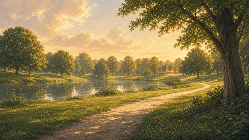
TEGGS NOSE
Tegg's Nose Country Park
Tegg's Nose Country Park
Tegg's Nose Quarry
The Oaks
Windyway Kennels and Animal Sanctuary
Trentabank Reservoir
Lamaload Reservoir
Ridgegate Reservoir
Bottoms Reservoir
White Nancy
MELLOR'S GARDENS
Rock Wood
Plan your visit with Glade
Glade has detailed pages for the key sites in this area — confirmed wildlife records, trail data, facilities, and seasonal nature notes updated for the current time of year.
Browse all outdoor spaces near Tegg's Nose →