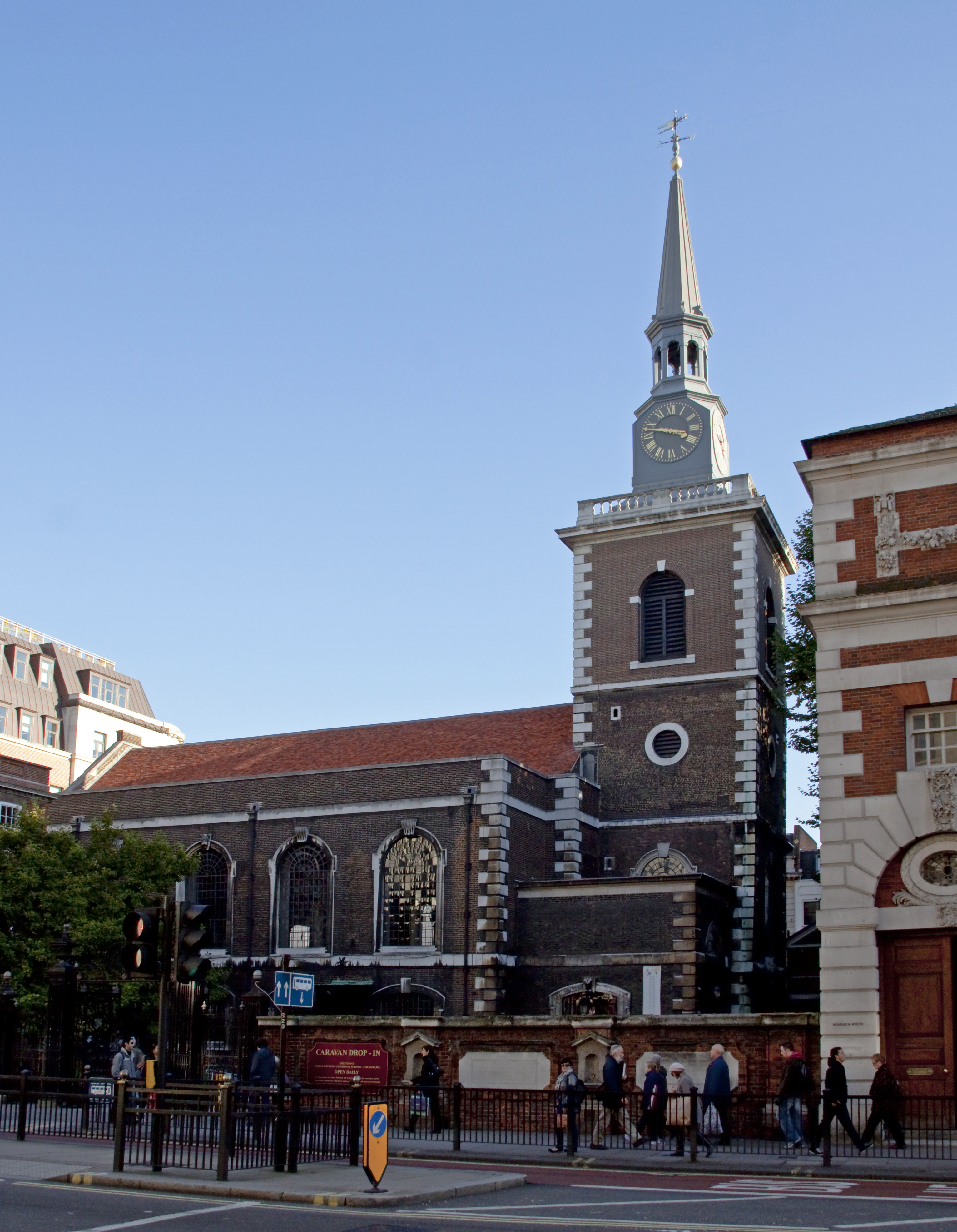
St James's Church
Plan your visit
Getting here
51.65112, -2.09999
Visiting this summer
Seasonal nature notes and what to look for now
▾
Visiting this summer
Seasonal nature notes and what to look for now
- 🐦67+ species recorded in this area — summer evenings are best for activity; watch for Blue Tit and Blackbird
- 🐕Early mornings are best for dog walks in summer — visit before 9am to avoid the heat and find quieter trails
- 📍Open access throughout summer — no booking required
🌤️ Visiting this summer
- 🐦67+ species recorded in this area — summer evenings are best for activity; watch for Blue Tit and Blackbird
- 🐕Early mornings are best for dog walks in summer — visit before 9am to avoid the heat and find quieter trails
- 📍Open access throughout summer — no booking required
Best for
8 activitiesBird watching
Very strong match
Birds — Blue Tit, Blackbird, Robin +64 more · last seen 2025
Wildlife
Strong match
Birds — Blue Tit, Blackbird, Robin +64 more · last seen 2025
Insect spotting
Strong match
Insects — Small White, Green-veined White, Gatekeeper +23 more · last seen 2024
Dog walks
Good match
Dogs allowed with public access
Churchyard walks
Good match
Churchyard or religious grounds — wildlife sanctuary and quiet reflection
Hiking
Good match
Named hiking route nearby: Monarch's Way; Named hiking route nearby: Monarch's Way
Trails nearby
Within roughly 5 km🚶Walking
▾6 signed routes nearby · 3 public paths nearby
Signed route nearbyPublic paths
Walking
Monarch's WayWalking route990 km▾
approximate route of Charles II's escape
Macmillan WayWalking route290 km▾
Wysis WayWalking route88.5 km▾
Long distance footpath forming a link between the Thames and the Wye
Palladian WayWalking route190 km▾
The Old Goal, Buckingham to Pulteney Bridge, Bath
Thames PathWalking route296 km▾
🚴Cycling
▾11 signed routes nearby
Signed route nearby
Cycling
Mercian WayCycling route▾
National BywayCycling route▾
Fosse2Cycling route▾
Cotswold CyclewayCycling route▾
Main RouteCycling route33 m▾
Main RouteCycling route773 m▾
Wildlife to spot
Photos
22 photos from nearby open sources
▾
Photos
22 photos from nearby open sources
Photos
Good to know
- £Free to visit — no entry charge
- 🐕Dogs welcome
Weather for this location
Next 14 daysLoading local forecast…
Nearby places
Useful places within 5 km