🐦72+ species recorded in this area — summer evenings are best for activity; watch for Barn Owl and Chough
🌳Ancient woodland is at its best in summer here
🐕Dogs welcome — bring water in summer; the site has enough space to find shade on hot days
🌤️ Visiting this summer
🐦72+ species recorded in this area — summer evenings are best for activity; watch for Barn Owl and Chough
🌳Ancient woodland is at its best in summer here
🐕Dogs welcome — bring water in summer; the site has enough space to find shade on hot days
Best for
11 activities
🦅
Bird watching
Very strong match
Free
Birds — Barn Owl, Chough, Magpie +69 more · last seen 2025; Lowland heathland — Dartford warblers, nightjars and stonechats
🌳
Ancient woodland
Strong match
Free
Ancient woodland — continuous woodland since before 1600
🦉
Wildlife
Strong match
Free
Birds — Barn Owl, Chough, Magpie +69 more · last seen 2025; Lowland heathland priority habitat
✦
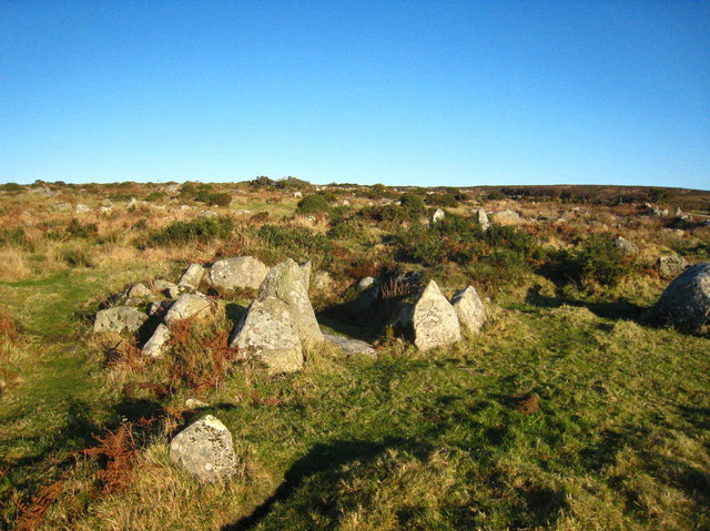
Heritage
Strong match
Free
Historic site with public access
🍄
Mushroom foraging
Strong match
Varies
Fungi — Yellow Brain, Candlesnuff Fungus, Velvet Shank +29 more · last seen 2024
🦋
Insect spotting
Strong match
Free
Lowland heathland — silver-studded blue and heath fritillary butterflies; Insects — Melanostoma scalare, Drinker, Xylota segnis +11 more · last seen 2025
Trails nearby
Within roughly 5 km
🚶
Walking
▾
3 signed routes nearby
Signed route nearby
South West Coast Path (Section 21: St Ives to Pendeen)Walking route▾
Named routeRef SWCPNational walking route
South West Coast Path (Section 24: Lamorna to Marazion)Walking route▾
Named routeRef SWCPNational walking route
St Michael's WayWalking route20 km▾
A waymarked route from Lelant to St Michael's Mount
Named routeRef SMWLength 20 kmRegional walking route
🚴
Cycling
▾
16 signed routes nearby
Signed route nearby
UK:National Cycle Network - westCycling route▾
Named routeRef 3National Cycle Network
Route 3Cycling route527.7 km▾
Named routeRef 3Length 527.7 kmNational Cycle Network
Main RouteCycling route36 m▾
Named routeRef 3Length 36 mNational Cycle NetworkTraffic-freeSurface asphalt
Main RouteCycling route528 m▾
Named routeRef 3Length 528 mNational Cycle NetworkTraffic-freeSurface asphalt
Main RouteCycling route279 m▾
Named routeRef 3Length 279 mNational Cycle NetworkTraffic-freeSurface unsealedloose
Alternative RouteCycling route195 m▾
Named routeRef 3Length 195 mNational Cycle NetworkOn-roadSurface asphalt
🚵
Mountain biking
▾
2 signed routes nearby
Signed route nearby
West Kernow Way Part 1Mountain bike route▾
Named route
West Kernow Way Part 2Mountain bike route▾
Named route
🐴
Horse riding
▾
2 public paths nearby
Public paths
Bosporthennisbridleway · 125 m▾
Public pathbridlewayLength 125 mSurface gravelPath type: track
Bosporthennisbridleway · 380 m▾
Public pathbridlewayLength 380 mSurface gravelPath type: track