Plan your visit
Getting here
54.43611, -1.76147
Visiting this summer
Seasonal nature notes and what to look for now
▾
Visiting this summer
Seasonal nature notes and what to look for now
- 🐦88+ species recorded in this area — summer evenings are best for activity; watch for Woodpigeon and Robin
- ✦Historic character is a year-round quality here — summer brings its own atmosphere to the setting
- 🐕Dogs welcome — bring water in summer; the site has enough space to find shade on hot days
🌤️ Visiting this summer
- 🐦88+ species recorded in this area — summer evenings are best for activity; watch for Woodpigeon and Robin
- ✦Historic character is a year-round quality here — summer brings its own atmosphere to the setting
- 🐕Dogs welcome — bring water in summer; the site has enough space to find shade on hot days
Best for
8 activitiesBird watching
Very strong match
Birds — Woodpigeon, Robin, Wren +85 more · last seen 2025
Ancient woodland
Strong match
Ancient woodland — continuous woodland since before 1600
Wildlife
Strong match
Birds — Woodpigeon, Robin, Wren +85 more · last seen 2025; Ancient woodland
Heritage
Strong match
Historic site with public access
Insect spotting
Strong match
Insects — Bumblebee, White/Buff-tailed Bumblebee workers, Buff-tailed Bumblebee +15 more · last seen 2025
Dog walks
Good match
Dogs allowed with public access
Trails nearby
Within roughly 5 km🚶Walking
▾6 signed routes nearby
Signed route nearby
Walking
Castle WalkWalking route▾
Round Howe and Billy Bank Woods Trail, HudswellWalking route2.2 km▾
Explore the steep banks of the River Swale & rough pasture behind Round Howe. Wild flowers, hills, historic woodland, & views of Richmond. Open space for playing, places for riverside picnics & prime spots for skimming stones. Muddy in wet weather.
Hudswell Woods TrailWalking route2.4 km▾
An attractive walk beside the river and along the top of the wood. Steep route with 230 steps.
Low and Billy Bank Woods trail, HudswellWalking route1.6 km▾
A moderate walk through the riverside woodland and alongside impressive valley-side crags.
Coast to Coast Walk (Richmond to Robin Hood’s Bay)Walking route▾
🚴Cycling
▾2 signed routes nearby
Signed route nearby
Cycling
A66 Cycle RouteCycling route▾
National Byway (Yorkshire)Cycling route▾
🐴Horse riding
▾1 public path nearby
Public paths
Horse riding
Jagger Lanebridleway · 1.9 km▾
Wildlife to spot
Photos
15 photos from nearby open sources
▾
Photos
15 photos from nearby open sources
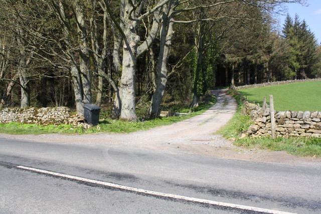
Track to High Scales from Springs Lane passing Gilling Wood
Photos
Track to High Scales from Springs Lane passing Gilling Wood
Good to know
- £Free to visit — no entry charge
- 🐕Dogs welcome
Weather for this location
Next 14 daysLoading local forecast…
Nearby places
Useful places within 5 km