☀️June — long evenings and clear skies; one of the most rewarding months for a late visit
🐕Early mornings are best for dog walks in summer — visit before 9am to avoid the heat and find quieter trails
🅿️Parking nearby — easy to reach by car
🌤️ Visiting this summer
☀️June — long evenings and clear skies; one of the most rewarding months for a late visit
🐕Early mornings are best for dog walks in summer — visit before 9am to avoid the heat and find quieter trails
🅿️Parking nearby — easy to reach by car
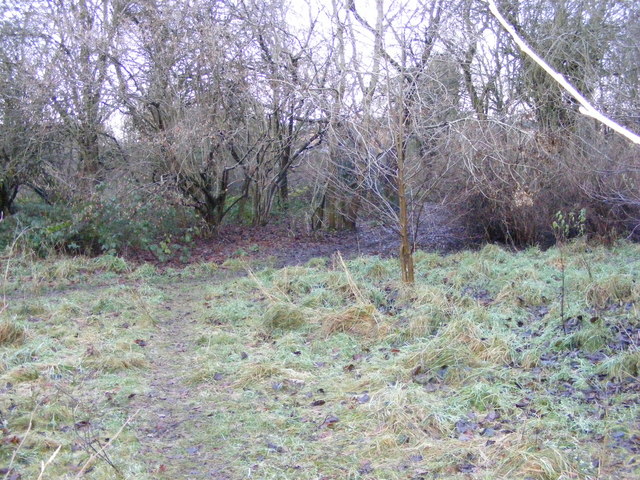
Good to know
£Free to visit — no entry charge
🐕Dogs welcome
🅿️Parking
Best for
6 activities
🦅
Bird watching
Strong match
Nature reserve
Free
🦉
Wildlife
Strong match
Nature reserve
Free
🐶
Dog walks
Strong match
Dogs allowed — nature reserve
Free
🌲
Forest walks
Strong match
Nature reserve
Free
🍂
Seasonal nature
Good match
Nature reserve — seasonal wildlife and habitats
Free
🧺
Picnic day out
Moderate match
Nature reserve — public outdoor space
Free
Trails nearby
Within roughly 5 km
🚶
Walking
▾
28 signed routes nearby · 2 public paths nearby
Signed route nearbyPublic paths
Monarch's WayWalking route990 km▾
approximate route of Charles II's escape
Named routeRef MWLength 990 kmRegional walking route
Dudley Geological Heritage TrailWalking route▾
Discover millions of years of geological history along this heritage trail. This tour allows you to experience
Dudley’s fascinating history through its buildings.
Named routeLocal walking route
Alder Coppice: Yellow PathWalking route▾
The shortest of three trails created alongside the designation of Alder Coppice into a Nature Reserve
Named routeRef AC-YLocal walking route
Barrow Hill Geological WalkWalking route▾
Self-guided geological walk around Barrow Hill with particular places or features of interest being identified. The reserve may be entered from several access points . The sequence of numbering starts from Vicarage Lane but as the stops are self contained
Named routeRound tripLocal walking route
Bilston to Loxdale Health WalkWalking route2.8 km▾
Self-guided health walk through Black Country Millenium Urban Forest sites. Route passes 15th century Greyhound & Punchbowl pub and Bradley Arm which is topped up by pumping water out of disused mines.
Difficulty: Medium due to slopes
Duration: 45-60 mins
Named routeRef HW1 BTWLength 2.8 kmPoint-to-pointLocal walking route
Named routeRef Starley NetworkLength 804 kmRegional cycle route
National Cycle Network 54 (removed)Cycling route▾
Named routeRef 54Local cycle route
National Cycle Network Route 81 (removed)Cycling route▾
Named routeRef 81National Cycle Network
Dudley Port CircularCycling route14 km▾
Follow The Gower Branch, then turn right back onto The Old Main Line. For a more challenging route, continue along The New Main Line and cross at Bromford Junction. Take the ramp access to The Old Main Line and double back, crossing Blakeley Hall Bridge.
Named routeLength 14 kmRound tripLocal cycle route