Plan your visit
Getting here
51.45953, -0.88577
Visiting this summer
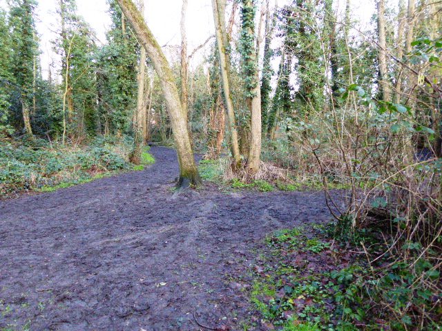
Seasonal nature notes and what to look for now
Visiting this summer
Seasonal nature notes and what to look for now
- ☀️June — long evenings and clear skies; one of the most rewarding months for a late visit
- 🧺Good picnic destination in summer — open space and facilities for a relaxed day out
- 🛝Playground — built-in entertainment for younger visitors alongside the wider site
🌤️ Visiting this summer
- ☀️June — long evenings and clear skies; one of the most rewarding months for a late visit
- 🧺Good picnic destination in summer — open space and facilities for a relaxed day out
- 🛝Playground — built-in entertainment for younger visitors alongside the wider site
Good to know
- £Free to visit — no entry charge
- 🐕Dogs welcome
Best for
Bird watching
Strong match
Nature reserve
Picnic day out
Strong match
picnic area, car park; Nature reserve — public outdoor space
Wildlife
Strong match
Nature reserve
Family friendly
Strong match
playground, picnic area
Playgrounds
Strong match
playground, parking
Dog walks
Strong match
Dogs allowed — nature reserve
Trails nearby
Within roughly 5 km🚶Walking
5 signed routes nearby
Signed route nearby
Walking
European walking route E2 west, UK, South East EnglandWalking route
Westroute: Stranraer (UK) - Birminhgham (UK) - Calais (FR) - Zoersel (BE) / Eastroute: Stranraer (UK) - Harwich (UK) - Rotterdam (NL) - Zoersel (BE) / Both Routes: Zoersel (BE) - Maastrich (NL) - Luxembourg (LUX) - Lake Geneva (CH) - Nice (FR)
Kennet and Avon Canal TrailWalking route140 km
Rivers linked by a canal. The name refers to the entire navigable length. From Bristol the way is the Avon. The canal is from Bath to Newbury. From there to Reading the way is the Kennet. 53 locks to Summit Pound (150 m asl) and 54 down to Reading.
The Wokingham WayWalking route
Thames PathWalking route296 km
Greenway Route BWalking route
🚴Cycling
66 signed routes nearby
Signed route nearby
Cycling
National Cycle Network Route 5Cycling route
Route 19Cycling route
Link to NCN 4Cycling route
Woodley, EarleyCycling route
Route CR5Cycling route
Earley Useful Cycle RoutesCycling route
🚵Mountain biking
1 signed route nearby
Signed route nearby
Mountain biking
King Alfred's WayMountain bike route
King Alfreds Way is 350km (220 miles) off road route designed to be ridden clockwise. It starts & ends in Winchester. It is suitable for gravel or cross-country bikes.
Wildlife to spot
Photos
Weather for this location
Loading local forecast…
Nearby places
Useful places within 5 km