Plan your visit
Getting here
51.23396, -0.74228
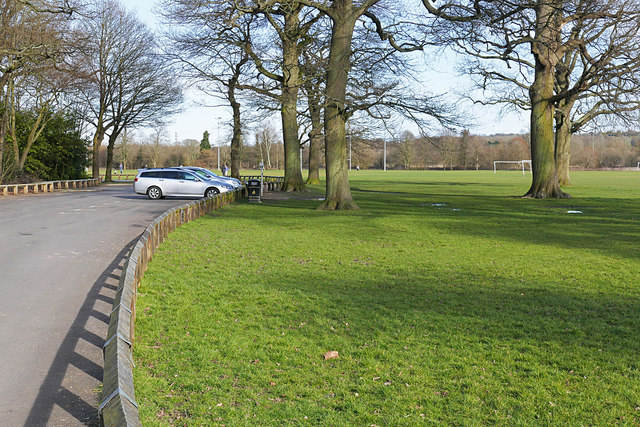
Visiting this summer
Seasonal nature notes and what to look for now
Visiting this summer
Seasonal nature notes and what to look for now
- 🐦71+ species recorded in this area — summer evenings are best for activity; watch for Blackbird and Blue Tit
- 🧺Good picnic destination in summer — open space and facilities for a relaxed day out
- 🛝Playground 192m away — built-in entertainment for younger visitors alongside the wider site
🌤️ Visiting this summer
- 🐦71+ species recorded in this area — summer evenings are best for activity; watch for Blackbird and Blue Tit
- 🧺Good picnic destination in summer — open space and facilities for a relaxed day out
- 🛝Playground 192m away — built-in entertainment for younger visitors alongside the wider site
Good to know
- £Free to visit — no entry charge
- 🐕Dogs welcome
Best for
Bird watching
Very strong match
Birds — Blackbird, Blue Tit, Little Egret +68 more · last seen 2026; Deciduous woodland — woodpeckers, warblers and woodland birds
Picnic day out
Very strong match
picnic area, toilets, car park; Urban park — open green space
Family friendly
Very strong match
playground, toilets, picnic area; Urban park — family destination
Wildlife
Strong match
Birds — Blackbird, Blue Tit, Little Egret +68 more · last seen 2026; Deciduous woodland priority habitat
Playgrounds
Strong match
playground, toilets, parking
Dog walks
Strong match
Dogs allowed with public access
Trails nearby
Within roughly 5 km🚶Walking
7 signed routes nearby · 2 public paths nearby
Signed route nearbyPublic paths
Walking
St Swithun's WayWalking route
Wellesley Green RouteWalking route
Blackwater Valley PathWalking route
Basingstoke CanalWalking route
North Downs Way (Western)Walking route
🚴Cycling
31 signed routes nearby
Signed route nearby
Cycling
Rushmoor cycle network (Aldershot)Cycling route
Scholars GreenwayCycling route
Weyside GreenwayCycling route
Final NCN 22 route through the centre of Farnham
Route 22Cycling route
Rushmoor Cycle Network [FF]Cycling route
Rushmoor Cycle Network [FA]Cycling route
🚵Mountain biking
6 signed routes nearby
Signed route nearby
Mountain biking
Basingstoke Canal TowpathMountain bike route
King Alfred's WayMountain bike route
King Alfreds Way is 350km (220 miles) off road route designed to be ridden clockwise. It starts & ends in Winchester. It is suitable for gravel or cross-country bikes.
Christmas Pie TrailMountain bike route13.7 km
leisure route from East Farnham to northwest Guildford
Cycle Surrey Hills - Elstead LoopMountain bike route
Blackwater Valley Multi-User PathMountain bike route
Cycle Surrey Hills - Puttenham LoopMountain bike route
🐴Horse riding
8 public paths nearby
Public paths
Horse riding
The Moorsbridleway · 79 m
Tongham Roadbridleway · 8 m
Wildlife to spot
Photos
Weather for this location
Loading local forecast…
Nearby places
Useful places within 5 km