Plan your visit
Getting here
52.59153, -1.93494
Visiting this summer
Seasonal nature notes and what to look for now
Visiting this summer
Seasonal nature notes and what to look for now
- 🐦66+ species recorded in this area — summer evenings are best for activity; watch for Wren and Robin
- 🧺Good picnic destination in summer — open space and facilities for a relaxed day out
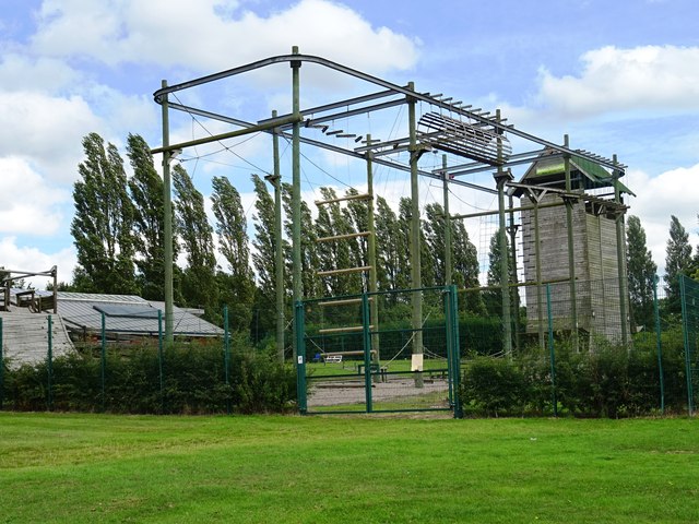
- 🛝Playground 168m away — built-in entertainment for younger visitors alongside the wider site
🌤️ Visiting this summer
- 🐦66+ species recorded in this area — summer evenings are best for activity; watch for Wren and Robin
- 🧺Good picnic destination in summer — open space and facilities for a relaxed day out
- 🛝Playground 168m away — built-in entertainment for younger visitors alongside the wider site
Good to know
- £Free to visit — no entry charge
- 🐕Dogs welcome
Best for
Picnic day out
Very strong match
picnic area, car park; Urban park — open green space
Bird watching
Very strong match
Birds — Wren, Robin, Great Tit +63 more · last seen 2026; Deciduous woodland — woodpeckers, warblers and woodland birds
Wildlife
Strong match
Birds — Wren, Robin, Great Tit +63 more · last seen 2026; Deciduous woodland priority habitat
Family friendly
Strong match
playground, picnic area; Urban park — family destination
Insect spotting
Strong match
Insects — Cheilosia, 14-spot Ladybird, Sphaerophoria +69 more · last seen 2025
Playgrounds
Strong match
playground, parking
Trails nearby
Within roughly 5 km🚶Walking
9 signed routes nearby · 1 public path nearby
Signed route nearbyPublic paths
Walking
Sutton Park Archeology Walk 1: Streetly GateWalking route
Most of Sutton Park is a Scheduled Ancient Monument and contains archaeological remains. This trail, one of six in the park, is via a roman road, medevial deer park, prehistoric mounds, medeval pond, and 16th century wood.
Sutton Park Archeology Walk 3: Banners GateWalking route
Most of Sutton Park is a Scheduled Ancient Monument and contains archaeological remains. This trail, one of six in the park, is via a Roman road, medieval deer park, military target range, prehistoric burnt mound, and 18th-century Mill Pond.
Four Commons WalkWalking route9.5 km
Circular route following the Wyrley & Essington Canal to Clayhanger Common – one of Walsall’s much-loved areas of green, open space. Distance: 6 miles/9.5 km(approx) Duration: 120 mins(approx)
Clayhanger Common WalkWalking route9.5 km
Short, circular route following the Wyrley & Essington Canal to Clayhanger Common – one of Walsall’s much-loved areas of green, open space. Distance: 6 miles/9.5 km(approx) Duration: 120 mins(approx)
Beacon WayWalking route40 km
Starting at Sandwell Valley via the outskirts of Birmingham and the countryside of Walsall into Staffordshire. Take in the Forest of Mercia, lakes, nature reserves, woods, and canal banks. Named after Barr Beacon, one of the highest hills in this area.
🚴Cycling
82 signed routes nearby
Signed route nearby
Cycling
SCWIP Cycle Route 15Cycling route
McClean WayCycling route
[PROPOSED]Starley Regional Cycle NetworkCycling route804 km
Starley (TfWM) Regional Cycle Network (Proposed route)
Sneyd Junction to Cannock Extension CanalCycling route8.8 km
A semi-rural route following the curves of the canal, until it opens out into parkland at the Cannock Extension. Distance: 5.5 miles/8.8 km (approx) Duration: 45 min (approx)
Cannock Extension Canal to Longwood JunctionCycling route11.2 km
Canalside route leading past Clayhanger Common and through Rushall, with a pub along the way. Distance: 7 miles/11.2 km (approx) Duration: 60 min (approx)
SCWIP Cycle Route 7Cycling route
Wildlife to spot
Photos
Weather for this location
Loading local forecast…
Nearby places
Useful places within 5 km