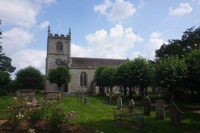
All Saint's Church
Getting here
52.31621, -1.57788
Visiting this summer
Seasonal nature notes and what to look for now
Visiting this summer
Seasonal nature notes and what to look for now
- 🌞Midsummer — early morning visits most comfortable; look for deer fawns in quieter clearings
- 🚴Start cycling visits early on summer days — trails are best before the heat builds via Route 52
- 🐕Dogs welcome — bring water in summer; the site has enough space to find shade on hot days
🌤️ Visiting this summer
- 🌞Midsummer — early morning visits most comfortable; look for deer fawns in quieter clearings
- 🚴Start cycling visits early on summer days — trails are best before the heat builds via Route 52
- 🐕Dogs welcome — bring water in summer; the site has enough space to find shade on hot days
Good to know
- £Free to visit — no entry charge
- 🐕Dogs welcome
Best for
Wildlife
Very strong match
Multi-group wildlife — Amphibians, Birds, Mammals, Reptiles; Multi-group wildlife — Amphibians, Birds, Mammals, Reptiles
Bird watching
Very strong match
Birds — Woodpigeon, Blue Tit, Carrion Crow +75 more · last seen 2026; Birds — Woodpigeon, Blue Tit, Carrion Crow +75 more · last seen 2026
Insect spotting
Strong match
Insects — Banded Demoiselle, Harlequin Ladybird, 7-spot Ladybird +63 more · last seen 2026; Insects — Banded Demoiselle, Harlequin Ladybird, 7-spot Ladybird +63 more · last seen 2026
Cycling
Good match
Named cycling route nearby: Route 52
Dog walks
Good match
Dogs allowed with public access
Heritage
Moderate match
Religious grounds — local heritage
Trails nearby
Within roughly 5 km🚶Walking
18 signed routes nearby · 7 public paths nearby
Signed route nearbyPublic paths
Walking
Centenary WayWalking route
Grand Union Canal WalkWalking route234 km
Birmingham to Napton section
Millennium TrailWalking route
A Coventry WayWalking route
Shakespeare's Avon WayWalking route142 km
From the source at Naseby, Northamptonshire to the Severn at Tewkesbury
Tink-a-Tankpublic footpath · 92 m
Tink-a-Tankpublic footpath · 166 m
🚴Cycling
63 signed routes nearby
Signed route nearby
Cycling
Route 41Cycling route
Route 52Cycling route
Cycle Coventry Route 10Cycling route
National Cycle Network National Route 523Cycling route
Main RouteCycling route1.2 km
Main RouteCycling route82 m
Wildlife to spot
Photos
Weather for this location
Loading local forecast…
Nearby places
Useful places within 5 km
Own or manage this place?
Claim this listing to keep details accurate, add photos, and highlight what makes it special — free.
Claim this pageHow was your visit?
How useful was the information on this page?
id: 6fb8acbe-f9e7-4a0a-a5ca-b52368b47455