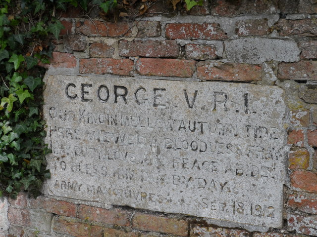
All Saints' Church
Getting here
52.10189, 0.35497
Visiting this summer
Seasonal nature notes and what to look for now
Visiting this summer
Seasonal nature notes and what to look for now
- 🌞Midsummer — early morning visits most comfortable; look for deer fawns in quieter clearings
- 🐕Early mornings are best for dog walks in summer — visit before 9am to avoid the heat and find quieter trails
- 📍Open access throughout summer — no booking required
🌤️ Visiting this summer
- 🌞Midsummer — early morning visits most comfortable; look for deer fawns in quieter clearings
- 🐕Early mornings are best for dog walks in summer — visit before 9am to avoid the heat and find quieter trails
- 📍Open access throughout summer — no booking required
Good to know
- £Free to visit — no entry charge
- 🐕Dogs welcome
Best for
Wildlife
Very strong match
Multi-group wildlife — Amphibians, Birds, Mammals; Multi-group wildlife — Amphibians, Birds, Mammals
Bird watching
Very strong match
Birds — Kestrel, Red-legged Partridge, Woodpigeon +62 more · last seen 2025; Birds — Kestrel, Red-legged Partridge, Woodpigeon +62 more · last seen 2025
Seasonal nature
Strong match
Plants — Pointed Spear-moss, Giant Hogweed, Silky Wall Feather-moss +35 more · last seen 2022; Plants — Pointed Spear-moss, Giant Hogweed, Silky Wall Feather-moss +35 more · last seen 2022
Insect spotting
Strong match
Insects — Buff-tailed Bumblebee, Bumblebee, Common Carder Bee +57 more · last seen 2025; Insects — Buff-tailed Bumblebee, Bumblebee, Common Carder Bee +57 more · last seen 2025
Dog walks
Good match
Dogs allowed with public access
Hiking
Good match
Named hiking route nearby: Harcamlow Way
Trails nearby
Within roughly 5 km🚶Walking
2 signed routes nearby · 23 public paths nearby
Signed route nearbyPublic paths
Walking
Icknield Way PathWalking route169 km
long distance footpath 169 km
Harcamlow WayWalking route
The Roman Roadpublic footpath · 24 m
Harcamlow Waypublic footpath · 516 m
Harcamlow Waypublic footpath · 242 m
🚵Mountain biking
1 signed route nearby
Signed route nearby
Mountain biking
Icknield Way Cycle TrailMountain bike route226 km
This is the off-road or mountain cycling route of the Icknield Way Trail.
🐴Horse riding
3 public paths nearby
Public paths
Horse riding
The Roman Roadbridleway · 13 m
The Roman Roadbridleway · 694 m
The Roman Roadbridleway · 94 m
Wildlife to spot
Photos
Weather for this location
Loading local forecast…
Nearby places
Useful places within 5 km
Own or manage this place?
Claim this listing to keep details accurate, add photos, and highlight what makes it special — free.
Claim this pageHow was your visit?
How useful was the information on this page?
id: 7edf9baf-d4c9-4531-8f0a-fc4fcfb6bac9