Getting here
50.85628, -0.55392
Visiting this summer
Seasonal nature notes and what to look for now
Visiting this summer
Seasonal nature notes and what to look for now
- 🐦77+ species recorded in this area — summer evenings are best for activity; watch for Robin and Coot
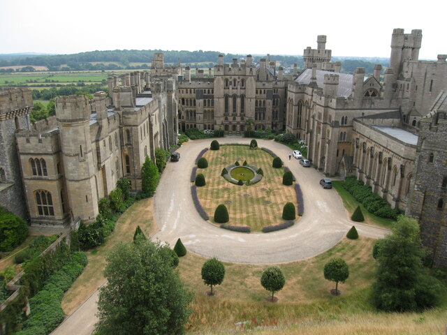
- ✦Historic character is a year-round quality here — summer brings its own atmosphere to the setting
- ☕Arondelle — a good base for a longer summer day out
🌤️ Visiting this summer
- 🐦77+ species recorded in this area — summer evenings are best for activity; watch for Robin and Coot
- ✦Historic character is a year-round quality here — summer brings its own atmosphere to the setting
- ☕Arondelle — a good base for a longer summer day out
Good to know
- 🐕Dogs welcome
Best for
Bird watching
Very strong match
Birds — Robin, Coot, Tufted Duck +74 more · last seen 2026; Birds — Robin, Coot, Tufted Duck +74 more · last seen 2026
Wildlife
Strong match
Deciduous woodland priority habitat; Birds — Robin, Coot, Tufted Duck +74 more · last seen 2026
Heritage
Strong match
Historic site
Foraging
Good match
Deciduous woodland — fungi, berries and wild garlic; Plants — Common Nettle, Red Dead-nettle, Evergreen Oak
Seasonal nature
Good match
Plants — Common Nettle, Primrose, Trailing Bellflower +12 more · last seen 2026; Plants — Common Nettle, Primrose, Trailing Bellflower +12 more · last seen 2026
Easy access
Good match
parking, toilets
Trails nearby
Within roughly 5 km🚶Walking
6 signed routes nearby · 14 public paths nearby
Signed route nearbyPublic paths
Walking
Monarch's WayWalking route990 km
approximate route of Charles II's escape
South Downs WayWalking route160 km
Bridle Road to Bignor Walk, SlindonWalking route10.4 km
South Downs, Circular Walk, Dog Friendly, Bridle Road, Bignor, Gumber Corner, The Gallops, Great Bottom, Picnic Spot, Eartham Woods, Stane Street, Roman Roads, 'Six-Ways' signpost, Shippams Poste, Pyramidal orchids, Nore Hill beeches, Nore Hill Folly
West Sussex Literary TrailWalking route
Wey-South PathWalking route
follows the river Wey and the (partly disused) Wey & Arun canal
🚴Cycling
8 signed routes nearby
Signed route nearby
Cycling
South Coast Cycle RouteCycling route
considered a poor cycle route by some cyclists, and a stand in for completion of NCN 2 to Littlehampton and beyond to Chichester
A259 cycle routeCycling route
Arundel Station to Town CentreCycling route
A259 cycle route (Chichester - Worthing)Cycling route
A284 Cycle RouteCycling route
Arundel Road (A27) Cycle RouteCycling route
🚵Mountain biking
1 signed route nearby
Signed route nearby
Mountain biking
South Downs WayMountain bike route
🐴Horse riding
3 public paths nearby
Public paths
Horse riding
The Klondikerestricted byway · 276 m
Pecky's Lanerestricted byway · 838 m
Wildlife to spot
Photos
Weather for this location
Loading local forecast…
Nearby places
Useful places within 5 km
Own or manage this place?
Claim this listing to keep details accurate, add photos, and highlight what makes it special — free.
Claim this pageHow was your visit?
How useful was the information on this page?
id: db2bc611-3b6c-4b51-9254-3161c3b00538