Plan your visit
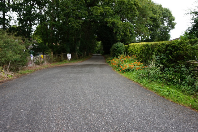
Getting here
50.72885, -1.21739
Visiting this summer
Seasonal nature notes and what to look for now
Visiting this summer
Seasonal nature notes and what to look for now
- 🌞Midsummer — early morning visits most comfortable; look for deer fawns in quieter clearings
- 🐕Early mornings are best for dog walks in summer — visit before 9am to avoid the heat and find quieter trails
- 🅿️Parking 176m away — 16 car parks within reach
🌤️ Visiting this summer
- 🌞Midsummer — early morning visits most comfortable; look for deer fawns in quieter clearings
- 🐕Early mornings are best for dog walks in summer — visit before 9am to avoid the heat and find quieter trails
- 🅿️Parking 176m away — 16 car parks within reach
Good to know
- £Free to visit — no entry charge
- 🐕Dogs welcome
- 🌿Ancient woodland — rare wildlife habitat
Best for
Bird watching
Very strong match
Mudflats — internationally important for wading birds and wildfowl; Birds — Pheasant, Woodpigeon, Robin +65 more · last seen 2026
Wildlife
Very strong match
Multi-group wildlife — Amphibians, Birds, Mammals, Reptiles; Multi-group wildlife — Amphibians, Birds, Mammals, Reptiles
Dog walks
Strong match
Dogs allowed — public woodland
Seasonal nature
Strong match
Ancient woodland — bluebells, fungi and autumn colour
Insect spotting
Strong match
Insects — Migrant Hawker, Large White, Speckled Wood +38 more · last seen 2026; Insects — Migrant Hawker, Large White, Speckled Wood +38 more · last seen 2026
Cycling
Good match
Named cycling route nearby: Route 22
Trails nearby
Within roughly 5 km🚶Walking
4 signed routes nearby · 4 public paths nearby
Signed route nearbyPublic paths
Walking
Isle of Wight Coastal PathWalking route113 km
The Bembridge TrailWalking route
Nunwell TrailWalking route
European walking route E9, Isle of Wight alternativeWalking route
Ashlake Copse Roadpublic footpath · 229 m
🚴Cycling
36 signed routes nearby
Signed route nearby
Cycling
Round the Island RouteCycling route
Route 22Cycling route
National Cycle Route 23Cycling route
Cowes (Route 3)Cycling route
Cowes (Route 4)Cycling route
Stag Lane to Noke CommonCycling route
🚵Mountain biking
2 signed routes nearby
Signed route nearby
Mountain biking
Red Squirrel Trail: Parkhurst ForestMountain bike route
Divert from the Red Squirrel Tail for Red Squirrel Hide
Chalk Ridge ExtremeMountain bike route
🐴Horse riding
10 public paths nearby
Public paths
Horse riding
Ashlake Copse Roadbridleway · 176 m
Ashlake Copse Lanebridleway · 128 m
Quarr Lanebridleway · 162 m
Ashlake Copse Lanebridleway · 47 m
Ashlake Copse Roadbridleway · 10 m
Wildlife to spot
Photos
Weather for this location
Loading local forecast…
Nearby places
Useful places within 5 km
Own or manage this place?
Claim this listing to keep details accurate, add photos, and highlight what makes it special — free.
Claim this pageHow was your visit?
How useful was the information on this page?
id: 534e9bd8-2d62-4361-a5d6-00a5105203ba