Getting here
53.65234, -2.19109
Visiting this summer
Seasonal nature notes and what to look for now
Visiting this summer
Seasonal nature notes and what to look for now
- 🌞Midsummer — early morning visits most comfortable; look for deer fawns in quieter clearings
- 🐕Early mornings are best for dog walks in summer — visit before 9am to avoid the heat and find quieter trails
- 🅿️Parking 313m away — 4 car parks within reach
🌤️ Visiting this summer
- 🌞Midsummer — early morning visits most comfortable; look for deer fawns in quieter clearings
- 🐕Early mornings are best for dog walks in summer — visit before 9am to avoid the heat and find quieter trails
- 🅿️Parking 313m away — 4 car parks within reach
Good to know
- £Free to visit — no entry charge
- 🐕Dogs welcome
Best for
Dog walks
Strong match
Dogs allowed — public woodland
Bird watching
Good match
Moorland — golden plover, curlew and short-eared owl
Wildlife
Good match
Upland flushes, fens and swamps priority habitat
Forest walks
Good match
Public woodland
Hiking
Good match
Named hiking route nearby: Rossendale Way
Trails nearby
Within roughly 5 km🚶Walking
7 signed routes nearby · 15 public paths nearby
Signed route nearbyPublic paths
Walking
Mary Towneley LoopWalking route
Forms part of Pennine Bridleway National Trail
Irwell Sculpture TrailWalking route
Rochdale WayWalking route
Rossendale WayWalking route
A high-level route around Bacup, Rawtenstall, Haslingden and Whitworth in the Rossendale Valley, crossing the open moors and farmland of the South Pennines which roughly follows the Rossendale Borough boundary.
GM Ringway Stage 12Walking route21.1 km
GM Ringway Stage 12 - Norden to Bury
Danes Lanepublic footpath · 34 m
Danes Lanepublic footpath · 350 m
Danes Lanepublic footpath · 165 m
🚴Cycling
104 signed routes nearby
Signed route nearby
Cycling
Route 66Cycling route
Vos Stansfield Road - Cowpe RoadCycling route
Cycle routeCycling route
Route 92Cycling route
Britannia GreenwayCycling route
Whitworth GreenwayCycling route
🚵Mountain biking
2 signed routes nearby
Signed route nearby
Mountain biking
Lee Quarry Red RouteMountain bike route
Lee Quarry Black RouteMountain bike route
🐴Horse riding
19 public paths nearby
Public paths
Horse riding
Rochdale to Bacup Linebridleway · 45 m
High Barn Lanebridleway · 188 m
Hall Streetbridleway · 97 m
New Roadbridleway · 566 m
Prickshaw Lanebridleway · 42 m
Wildlife to spot
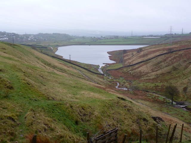
Photos
Weather for this location
Loading local forecast…
Nearby places
Useful places within 5 km
Own or manage this place?
Claim this listing to keep details accurate, add photos, and highlight what makes it special — free.
Claim this pageHow was your visit?
How useful was the information on this page?
id: 90102526-b0fd-4d46-a885-d88facd94fb8