Getting here
53.71292, -2.41587
Visiting this summer
Seasonal nature notes and what to look for now
Visiting this summer
Seasonal nature notes and what to look for now
- 🌞Midsummer — early morning visits most comfortable; look for deer fawns in quieter clearings
- 🐕Early mornings are best for dog walks in summer — visit before 9am to avoid the heat and find quieter trails
- 🅿️Parking 369m away — 2 car parks within reach
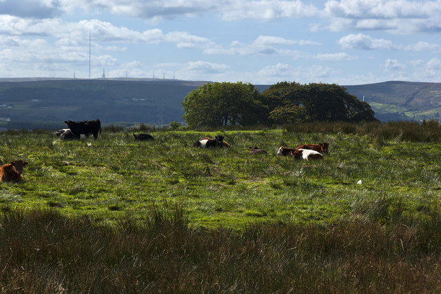
🌤️ Visiting this summer
- 🌞Midsummer — early morning visits most comfortable; look for deer fawns in quieter clearings
- 🐕Early mornings are best for dog walks in summer — visit before 9am to avoid the heat and find quieter trails
- 🅿️Parking 369m away — 2 car parks within reach
Good to know
- £Free to visit — no entry charge
- 🐕Dogs welcome
- 🌿Ancient woodland — rare wildlife habitat
Best for
Dog walks
Strong match
Dogs allowed — public woodland
Seasonal nature
Strong match
Ancient woodland — bluebells, fungi and autumn colour
Wildlife
Strong match
Ancient woodland; Lowland dry acid grassland priority habitat
Bird watching
Good match
Ancient woodland — owls, woodpeckers, warblers
Insect spotting
Good match
Acid grassland — heathland butterflies and rare invertebrates
Heritage
Good match
Ancient woodland — historic landscape
Trails nearby
Within roughly 5 km🚶Walking
3 signed routes nearby · 24 public paths nearby
Signed route nearbyPublic paths
Walking
Tacklers Trail - Witton Weavers WayWalking route
Rossendale WayWalking route
A high-level route around Bacup, Rawtenstall, Haslingden and Whitworth in the Rossendale Valley, crossing the open moors and farmland of the South Pennines which roughly follows the Rossendale Borough boundary.
Huncoat TrailWalking route
🚴Cycling
71 signed routes nearby
Signed route nearby
Cycling
Weavers WheelCycling route
Weavers Wheel - Spoke 3Cycling route
Weavers Wheel - Spoke 4Cycling route
Route 6Cycling route
Lancashire Cycleway (Southern Loop)Cycling route
Weavers Wheel - Spoke 1Cycling route
🐴Horse riding
8 public paths nearby
Public paths
Horse riding
Red Shell Lanebridleway · 39 m
Red Shell Lanebridleway · 217 m
Red Shell Lanebridleway · 779 m
Wildlife to spot
Photos
Weather for this location
Loading local forecast…
Nearby places
Useful places within 5 km
Own or manage this place?
Claim this listing to keep details accurate, add photos, and highlight what makes it special — free.
Claim this pageHow was your visit?
How useful was the information on this page?
id: 52dc7f47-f90b-4907-9d13-0ddfc707d60f