Birds — Robin, Blackbird, Blue Tit +59 more · last seen 2026; Birds — Robin, Blackbird, Blue Tit +59 more · last seen 2026
Free
🍂
Seasonal nature
Strong match
Ancient woodland — bluebells, fungi and autumn colour; Plants — Big Shaggy-moss, Clustered Bellflower, Wood Barley · last seen 2025
Free
🦋
Insect spotting
Strong match
Chalk and limestone grassland — chalkhill blue, adonis blue and rare moths; Insects — 7-spot Ladybird, Hairy Shieldbug, Green Shieldbug +109 more · last seen 2026
Free
🐶
Dog walks
Strong match
Dogs allowed — public woodland
Free
🌿
Foraging
Good match
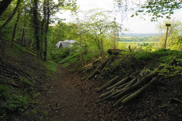
Deciduous woodland — fungi, berries and wild garlic
Varies
Trails nearby
Within roughly 5 km
🚶
Walking
▾
13 signed routes nearby · 9 public paths nearby
Signed route nearbyPublic paths
The RidgewayWalking route140 km▾
Named routeRef RWLength 140 kmNational walking route
The Chiltern WayWalking route275 km▾
A waymarked long-distance footpath in southern England
Named routeRef CWLength 275 kmRegional walking route
Oxfordshire WayWalking route110 km▾
a traverse of Oxfordshire from the Cotswolds to the Chilterns
Named routeRef OWLength 110 kmRegional walking route
Shakespeare's WayWalking route235 km▾
Named routeLength 235 kmRegional walking route
Midshires WayWalking route370 km▾
Multi-use trail links the Ridgeway National Trail with the Trans Pennine Trail
Named routeLength 370 kmRegional walking route
Beacon Hill Walkpublic footpath · 818 m▾
Public pathpublic footpathLength 818 mPath type: path
Beacon Hill Walkpublic footpath · 281 m▾
Public pathpublic footpathLength 281 mPath type: path
Beacon Hill Walkpublic footpath · 110 m▾
Public pathpublic footpathLength 110 mSurface dirtPath type: footway
🚴
Cycling
▾
1 signed route nearby
Signed route nearby
Chilterns CyclewayCycling route▾
Named routeRound tripRegional cycle route
🚵
Mountain biking
▾
2 signed routes nearby
Signed route nearby
Bledlow Circular RideMountain bike route14 km▾
A 10 mile circular ride through Chiltern countryside with fine open views. Mainly on bridleways, byways and quiet lanes. Waymarked. Pub on route.
Named routeLength 14 kmRound trip
Icknield Way Cycle TrailMountain bike route226 km▾
This is the off-road or mountain cycling route of the Icknield Way Trail.
Named routeLength 226 kmRegional cycle route
🐴
Horse riding
▾
16 public paths nearby
Public paths
Icknield Wayrestricted byway · 515 m▾
Significant tree roots on path (avoidable, 0.05).
Public pathrestricted bywayLength 515 mSurface dirtPath type: track
Icknield Waybridleway · 23 m▾
Public pathbridlewayLength 23 mSurface asphaltPath type: track
Icknield Waybridleway · 544 m▾
Braided path.
Public pathbridlewayLength 544 mSurface dirtPath type: track
Icknield Wayrestricted byway · 309 m▾
Public pathrestricted bywayLength 309 mSurface grassPath type: track
Icknield Wayrestricted byway · 109 m▾
Loose gravel present. 1 row of sett paving stones across north end of track to reduce speed.
Public pathrestricted bywayLength 109 mSurface compactedPath type: track