Birds — Robin, Woodpigeon, Blue Tit +61 more · last seen 2025; Birds — Robin, Woodpigeon, Blue Tit +61 more · last seen 2025
Free
🍂
Seasonal nature
Strong match
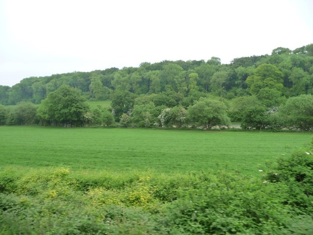
Ancient woodland — bluebells, fungi and autumn colour; Plants — Japanese Knotweed, Hart's-tongue Thyme-moss, Silky Wall Feather-moss +2 more · last seen 2023
Free
🦋
Insect spotting
Strong match
Insects — Meadow Brown, Large White, Small White +171 more · last seen 2025; Insects — Meadow Brown, Large White, Small White +171 more · last seen 2025
Free
🐶
Dog walks
Strong match
Dogs allowed — public woodland
Free
🚲
Cycling
Good match
Named cycling route nearby: Route 224
Varies
Trails nearby
Within roughly 5 km
🚶
Walking
▾
4 signed routes nearby · 5 public paths nearby
Signed route nearbyPublic paths
St Swithun's WayWalking route▾
Named routeRegional walking route
Hangers WayWalking route▾
Named routeRegional walking route
Selborne Common Walk, SelborneWalking route3.2 km▾
Experience this nature trail at Selborne Common in Hampshire that is an absolute must for nature lovers. Visitors can discover a variety of butterflies, birds and meadow flowers.
Named routeLength 3.2 kmDuration 02:00Round tripLocal walking route
Ox Drove WayWalking route▾
Named route
Nancy Wykeham Waypublic footpath · 332 m▾
Public pathpublic footpathLength 332 mSurface unpavedPath type: footway
St. Swithuns Waypublic footpath · 549 m▾
Public pathpublic footpathLength 549 mSurface dirtPath type: footway
St. Swithuns Waypublic footpath · 271 m▾
Public pathpublic footpathLength 271 mSurface dirtPath type: footway
🚴
Cycling
▾
37 signed routes nearby
Signed route nearby
National Cycle Route 23Cycling route▾
Named routeRef 23National Cycle Network
AltonCycling route▾
Named routeLocal cycle route
Route 224Cycling route▾
Named routeRef 224National Cycle Network
Chawton, Selborne LCNCycling route▾
Named routeLocal cycle route
Main RouteCycling route502 m▾
Named routeRef 224Length 502 mNational Cycle NetworkOn-roadSurface asphalt
Main RouteCycling route48 m▾
Named routeRef 224Length 48 mNational Cycle NetworkTraffic-freeSurface asphalt
🚵
Mountain biking
▾
2 signed routes nearby
Signed route nearby
Alton Off-Road Cycle TrailMountain bike route▾
Named routeHampshire off Road cycle trails
The Ox Drove mountain bike routeMountain bike route▾
Named route
🐴
Horse riding
▾
8 public paths nearby
Public paths
Peter Wykeham Waybridleway · 1.9 km▾
Public pathbridlewayLength 1.9 kmSurface dirtPath type: bridleway
Mounters Lanerestricted byway · 104 m▾
Public pathrestricted bywayLength 104 mSurface dirtPath type: bridleway
Mounters Lanerestricted byway · 78 m▾
Public pathrestricted bywayLength 78 mSurface compactedPath type: track