Birds — Mute Swan, Coot, Mallard +57 more · last seen 2026; Birds — Mute Swan, Coot, Mallard +57 more · last seen 2026
Free
🧺
Picnic day out
Strong match
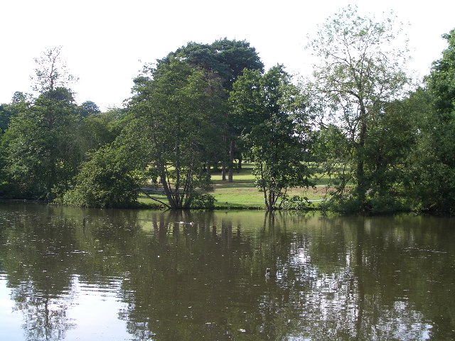
picnic area, car park
Free
🌿
Foraging
Strong match
Plants — Garlic Mustard, Thyme-leaved Speedwell, Walnut +12 more foraging species; Deciduous woodland — fungi, berries and wild garlic
Varies
🦋
Insect spotting
Strong match
Insects — Migrant Hawker, Emperor Dragonfly, White/Buff-tailed Bumblebee workers +53 more · last seen 2026; Insects — Migrant Hawker, Emperor Dragonfly, White/Buff-tailed Bumblebee workers +53 more · last seen 2026
Free
🍂
Seasonal nature
Strong match
Plants — Early Dog-violet, Pendulous Sedge, Bluebell +128 more · last seen 2026; Plants — Early Dog-violet, Pendulous Sedge, Bluebell +128 more · last seen 2026
Free
Trails nearby
Within roughly 5 km
🚶
Walking
▾
13 signed routes nearby · 16 public paths nearby
Signed route nearbyPublic paths
Three Forests WayWalking route96 km▾
Named routeLength 96 kmRound tripRegional walking route
Harcamlow WayWalking route▾
Named routeRef HARRegional walking route
Short TrailWalking route▾
Named routeListed length 1.3Round tripLocal walking route
London to Walsingham - stage 02Walking route▾
Named routeRef LW02Local walking route
Greenwich Meridian TrailWalking route440 km▾
A long-distance walk that follows the line of the Prime Meridian. Inaugurated in 2009, to coincide with the 125th anniversary of the Greenwich Meridian.
Named routeRef GMTLength 440 kmRegional walking route
Beech Walkpublic footpath · 414 m▾
Public pathpublic footpathLength 414 mPath type: footway
🚴
Cycling
▾
55 signed routes nearby
Signed route nearby
EuroVelo 2 - Capitals Route - part United Kingdom 7Cycling route▾
Named routeRef EV2International cycle route
Route 61Cycling route34 km▾
Route 61 travels from Maidenhead to Hatfield, Welwyn Garden City and Hertford before arriving near Hoddesdon.
Named routeRef 61Length 34 kmNational Cycle Network
NCN National Route 1Cycling route▾
Named routeRef 1National Cycle Network
Main RouteCycling route2 km▾
Named routeRef 1Length 2 kmNational Cycle NetworkTraffic-freeSurface unsealedfirm
Main RouteCycling route967 m▾
Named routeRef 1Length 967 mNational Cycle NetworkTraffic-freeSurface unsealedfirm
Main RouteCycling route506 m▾
Named routeRef 1Length 506 mNational Cycle NetworkTraffic-freeSurface unsealedfirm
🐴
Horse riding
▾
6 public paths nearby
Public paths
Bramble Lanerestricted byway · 257 m▾
Public pathrestricted bywayLength 257 mPath type: bridleway
Bramble Lanerestricted byway · 626 m▾
Public pathrestricted bywayLength 626 mPath type: bridleway