🐦64+ species recorded in this area — summer evenings are best for activity; watch for Woodpigeon and Shoveler
✦Historic character is a year-round quality here — summer brings its own atmosphere to the setting
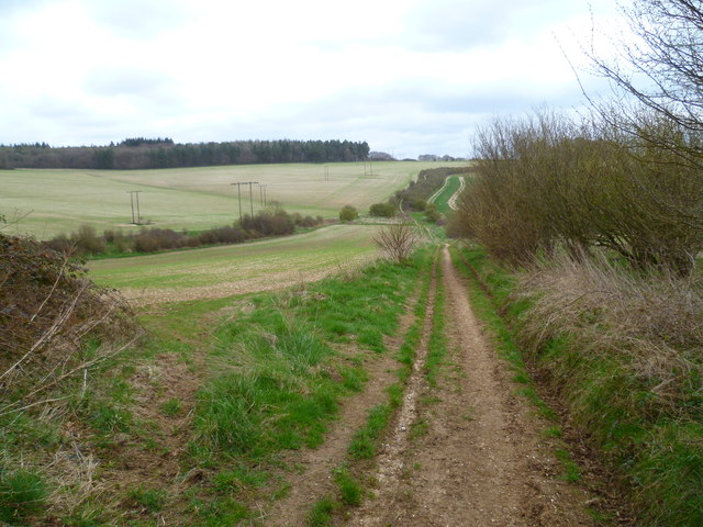
🐕Dogs welcome — bring water in summer; the site has enough space to find shade on hot days
🌤️ Visiting this summer
🐦64+ species recorded in this area — summer evenings are best for activity; watch for Woodpigeon and Shoveler
✦Historic character is a year-round quality here — summer brings its own atmosphere to the setting
🐕Dogs welcome — bring water in summer; the site has enough space to find shade on hot days
Good to know
£Free to visit — no entry charge
🐕Dogs welcome
Best for
8 activities
🦅
Bird watching
Very strong match
Birds — Woodpigeon, Shoveler, Jackdaw +61 more · last seen 2025
Free
🦉
Wildlife
Very strong match
Mammals — Red Fox, Roe Deer, Grey Squirrel +15 more · last seen 2026
Free
✦
Heritage
Strong match
Historic site with public access
Free
🦋
Insect spotting
Strong match
Insects — Glow-worm, Common Carder Bee, Red-tailed Bumblebee +55 more · last seen 2026
Free
🍂
Seasonal nature
Strong match
Plants — Hawthorn, Grey Poplar, Bastard-toadflax +21 more · last seen 2025
Free
🐶
Dog walks
Good match
Dogs allowed with public access
Free
Trails nearby
Within roughly 5 km
🚶
Walking
▾
3 signed routes nearby · 2 public paths nearby
Signed route nearbyPublic paths
Monarch's WayWalking route990 km▾
approximate route of Charles II's escape
Named routeRef MWLength 990 kmRegional walking route
Old Sarum WayWalking route▾
Named routeRegional walking route
Cranborne Droves WayWalking route▾
The route of the Cranborne Droves Way walkers route between Win Green where it links with Wessex Ridgeway and Salisbury where it links with the Sarsen Way
Named routeRegional walking route
🚴
Cycling
▾
18 signed routes nearby
Signed route nearby
Wiltshire CyclewayCycling route155 km▾
Named routeRef WCLength 155 kmRound tripRegional cycle route
Route 24Cycling route▾
Named routeRef 24National Cycle Network
National BywayCycling route▾
Named routeRef NBRegional cycle route
Main RouteCycling route3.4 km▾
Named routeRef 24Length 3.4 kmNational Cycle NetworkOn-roadSurface asphalt
Main RouteCycling route1.4 km▾
Named routeRef 24Length 1.4 kmNational Cycle NetworkOn-roadSurface asphalt
Main RouteCycling route20 m▾
Named routeRef 24Length 20 mNational Cycle NetworkOn-roadSurface asphalt
🚵
Mountain biking
▾
1 signed route nearby
Signed route nearby
Cranborne Droves Way TrailMountain bike route▾
Named route
🐴
Horse riding
▾
2 public paths nearby
Public paths
No named routes yet. Public paths are shown on the map.