Getting here
51.95214, -0.13675
Visiting this summer
Seasonal nature notes and what to look for now
Visiting this summer
Seasonal nature notes and what to look for now
- 🌞Midsummer — early morning visits most comfortable; look for deer fawns in quieter clearings
- 🐕Early mornings are best for dog walks in summer — visit before 9am to avoid the heat and find quieter trails
- 📍Open access throughout summer — no booking required
🌤️ Visiting this summer
- 🌞Midsummer — early morning visits most comfortable; look for deer fawns in quieter clearings
- 🐕Early mornings are best for dog walks in summer — visit before 9am to avoid the heat and find quieter trails
- 📍Open access throughout summer — no booking required
Good to know
- £Free to visit — no entry charge
- 🐕Dogs welcome
Best for
Wildlife
Very strong match
Multi-group wildlife — Amphibians, Birds, Mammals; Multi-group wildlife — Amphibians, Birds, Mammals
Bird watching
Strong match
Birds — Blue Tit, Chaffinch, Goldfinch +25 more · last seen 2026; Birds — Blue Tit, Chaffinch, Goldfinch +25 more · last seen 2026
Insect spotting
Strong match
Insects — Speckled Bush-cricket, Marmalade Hoverfly, Syrphus +168 more · last seen 2026; Insects — Speckled Bush-cricket, Marmalade Hoverfly, Syrphus +168 more · last seen 2026
Dog walks
Strong match
Dogs allowed — public woodland
Forest walks
Good match
Public woodland
Seasonal nature
Good match
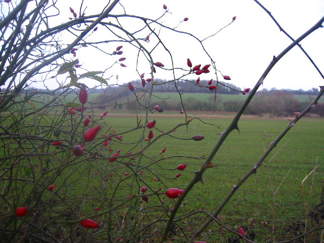
Plants — Herb-Robert, Creeping Cinquefoil, Butcher's-broom · last seen 2025; Plants — Herb-Robert, Creeping Cinquefoil, Butcher's-broom · last seen 2025
Trails nearby
Within roughly 5 km🚶Walking
15 signed routes nearby
Signed route nearby
Walking
STOOP Link Path 2 - Stevenage Outer Orbital Path LinkWalking route
A link from Stevenage to the STOOP path (at approx 3 o'clock on clockface)
STOOP Link Path 1 - Stevenage Outer Orbital Path LinkWalking route
A link from Stevenage to the STOOP path (at approx 2 o'clock on clockface)
STOOP Link Path 8 - Stevenage Outer Orbital Path LinkWalking route
Link from Stevenage to the STOOP path (at approx 11 o'clock on clockface)
Icknield Way PathWalking route169 km
long distance footpath 169 km
Hertfordshire WayWalking route267 km
Long distance path
🚴Cycling
29 signed routes nearby
Signed route nearby
Cycling
Route 12Cycling route
recreational cycle route 10Cycling route
Main RouteCycling route2.5 km
Main RouteCycling route403 m
Main RouteCycling route64 m
Main RouteCycling route239 m
🚵Mountain biking
1 signed route nearby
Signed route nearby
Mountain biking
Icknield Way Cycle TrailMountain bike route226 km
This is the off-road or mountain cycling route of the Icknield Way Trail.
🐴Horse riding
4 public paths nearby
Public paths
Horse riding
Lolleywood Lanebridleway · 1.3 km
Wildlife to spot
Photos
Weather for this location
Loading local forecast…
Nearby places
Useful places within 5 km
Own or manage this place?
Claim this listing to keep details accurate, add photos, and highlight what makes it special — free.
Claim this pageHow was your visit?
How useful was the information on this page?
id: f02c2a37-fda9-47cc-8f4f-e841a5fb0cdb