🐦85+ species recorded in this area — summer evenings are best for activity; watch for Blackbird and Raven
☀️Summer family visits work well here — arrive early and plan for a longer stay
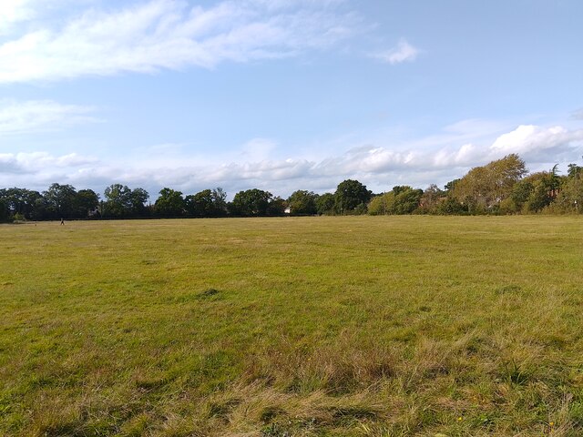
🛝Playground 165m away — built-in entertainment for younger visitors alongside the wider site
🌤️ Visiting this summer
🐦85+ species recorded in this area — summer evenings are best for activity; watch for Blackbird and Raven
☀️Summer family visits work well here — arrive early and plan for a longer stay
🛝Playground 165m away — built-in entertainment for younger visitors alongside the wider site
Best for
10 activities
🦅
Bird watching
Very strong match
Free
Birds — Blackbird, Raven, Woodpigeon +82 more · last seen 2026
🦉
Wildlife
Strong match
Free
Birds — Blackbird, Raven, Woodpigeon +82 more · last seen 2026
🎠
Playgrounds
Strong match
Free
playground, parking
🦋
Insect spotting
Strong match
Free
Insects — Jersey Tiger, Emperor Dragonfly, Black-tailed Skimmer +39 more · last seen 2026
🛝
Family friendly
Strong match
Free
playground; Urban park — family destination
🐶
Dog walks
Strong match
Free
Dogs allowed with public access
Trails nearby
Within roughly 5 km
🚶
Walking
▾
7 signed routes nearby · 18 public paths nearby
Signed route nearbyPublic paths
red trailWalking route▾
Named routeLocal walking route
Silchester TrailWalking route▾
Named route
The Roman WayWalking route274.5 km▾
Named routeLength 274.5 kmRegional walking route
The Brenda Parker WayWalking route▾
Named routeRegional walking route
Kennet and Avon Canal TrailWalking route140 km▾
Rivers linked by a canal. The name refers to the entire navigable length. From Bristol the way is the Avon. The canal is from Bath to Newbury. From there to Reading the way is the Kennet. 53 locks to Summit Pound (150 m asl) and 54 down to Reading.
Named routeRef K&ALength 140 kmRegional walking route
Summerlugpublic footpath · 43 m▾
Public pathpublic footpathLength 43 mSurface compactedPath type: residential
Summerlugpublic footpath · 174 m▾
Public pathpublic footpathLength 174 mSurface compactedPath type: residential
Summerlugpublic footpath · 108 m▾
Public pathpublic footpathLength 108 mSurface gravelPath type: footway
🚴
Cycling
▾
28 signed routes nearby
Signed route nearby
Round Berkshire Cycle RouteCycling route▾
Named routeRegional cycle route
National Cycle Route 23Cycling route▾
Named routeRef 23National Cycle Network
Calleva TrailCycling route▾
Named routeRef Calleva TrailRegional cycle route
EuroVelo 2 - Capitals Route - part United Kingdom 4Cycling route▾
Named routeRef EV2International cycle route
Route 4Cycling route▾
Named routeRef 4National Cycle Network
Main RouteCycling route2.5 km▾
Named routeRef 4Length 2.5 kmNational Cycle NetworkTraffic-freeSurface asphalt
🚵
Mountain biking
▾
2 signed routes nearby
Signed route nearby
Pamber Forest BridlewayMountain bike route▾
Named routeRef Blue Trail
King Alfred's WayMountain bike route▾
King Alfreds Way is 350km (220 miles) off road route designed to be ridden clockwise. It starts & ends in Winchester. It is suitable for gravel or cross-country bikes.
Named routeRegional cycle route
🐴
Horse riding
▾
6 public paths nearby
Public paths
No named routes yet. Public paths are shown on the map.