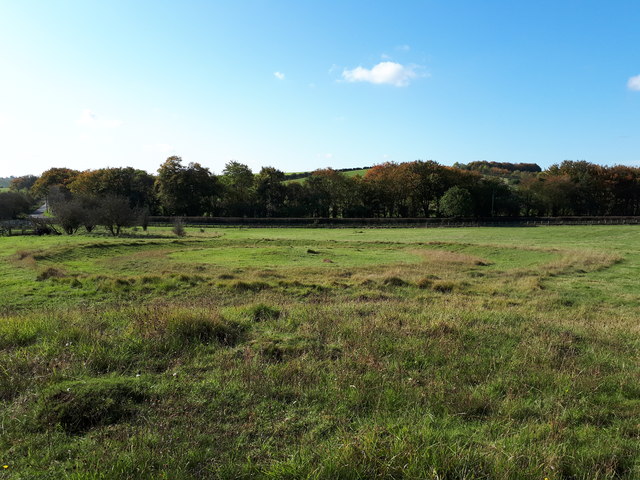
Bell barrow 400m north-east of Postdown Farm: part of the Seven Barrows cemetery
Getting here
51.54143, -1.52526
Visiting this summer
Seasonal nature notes and what to look for now
Visiting this summer
Seasonal nature notes and what to look for now
- 🌞Midsummer — early morning visits most comfortable; look for deer fawns in quieter clearings
- ✦Historic character is a year-round quality here — summer brings its own atmosphere to the setting
- 🐕Dogs welcome — bring water in summer; the site has enough space to find shade on hot days
🌤️ Visiting this summer
- 🌞Midsummer — early morning visits most comfortable; look for deer fawns in quieter clearings
- ✦Historic character is a year-round quality here — summer brings its own atmosphere to the setting
- 🐕Dogs welcome — bring water in summer; the site has enough space to find shade on hot days
Good to know
- £Free to visit — no entry charge
- 🐕Dogs welcome
Best for
Wildlife
Very strong match
Multi-group wildlife — Birds, Mammals, Reptiles; Multi-group wildlife — Birds, Mammals, Reptiles
Bird watching
Very strong match
Birds — Carrion Crow, Chaffinch, Corn Bunting +58 more · last seen 2026; Birds — Carrion Crow, Chaffinch, Corn Bunting +58 more · last seen 2026
Insect spotting
Strong match
Insects — Meadow Brown, Small Heath, Marbled White +72 more · last seen 2025; Insects — Meadow Brown, Small Heath, Marbled White +72 more · last seen 2025
Heritage
Strong match
Historic site
Trails nearby
Within roughly 5 km🚶Walking
5 signed routes nearby
Signed route nearby
Walking
The RidgewayWalking route140 km
D'Arcy Dalton WayWalking route107 km
Follows roughly the western boundary of Oxfordshire in unspoilt countryside.
White horse circular walkWalking route
Lambourn Valley WayWalking route
White Horse Hill to Ashdown Walk, White Horse HillWalking route12.3 km
Long circular across the ancient chalk downs of Oxfordshire, neolithic sites and history found along this stretch of the ancient Ridgeway. Mixture of hard paths and field paths. Route can be muddy after wet weather. Take care at road crossings.
🚴Cycling
2 signed routes nearby
Signed route nearby
Cycling
Round Berkshire Cycle RouteCycling route
Vale Cycle LinksCycling route
🚵Mountain biking
1 signed route nearby
Signed route nearby
Mountain biking
King Alfred's WayMountain bike route
King Alfreds Way is 350km (220 miles) off road route designed to be ridden clockwise. It starts & ends in Winchester. It is suitable for gravel or cross-country bikes.
🐴Horse riding
2 public paths nearby
Public paths
Horse riding
No named routes yet. Public paths are shown on the map.
Wildlife to spot
Photos
Weather for this location
Loading local forecast…
Nearby places
Useful places within 5 km
Own or manage this place?
Claim this listing to keep details accurate, add photos, and highlight what makes it special — free.
Claim this pageHow was your visit?
How useful was the information on this page?
id: eaba4cdd-0226-45b9-ae1f-984022755a77