Birds — Robin, Woodpigeon, Magpie +57 more · last seen 2026; Birds — Robin, Woodpigeon, Magpie +57 more · last seen 2026
Free
🧺
Picnic day out
Strong match
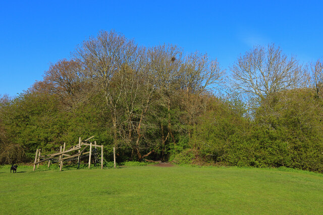
picnic area, car park
Free
🦋
Insect spotting
Strong match
Insects — Dark-edged Bee-fly, Eristalis pertinax, Hairy-footed Flower Bee +64 more · last seen 2026; Insects — Dark-edged Bee-fly, Eristalis pertinax, Hairy-footed Flower Bee +64 more · last seen 2026
Free
🐶
Dog walks
Strong match
Dogs allowed — public woodland
Free
🛝
Family friendly
Strong match
playground, picnic area
Free
Trails nearby
Within roughly 5 km
🚶
Walking
▾
6 signed routes nearby · 29 public paths nearby
Signed route nearbyPublic paths
Gloucestershire WayWalking route161 km▾
Named routeLength 161 kmRegional walking route
Cotswold WayWalking route164 km▾
Named routeRef CWLength 164 kmNational walking route
Gustav Holst Way (Holst Birthplace Museum to Corndean Lane)Walking route7 km▾
Named routeLength 7 kmRegional walking route
Cheltenham Circular FootpathWalking route▾
Named routeLocal walking route
Glevum WayWalking route42 km▾
A circular path around Gloucester passing through a varied landscape of river plain and limestone hillsides
Named routeLength 42 kmRegional walking route
Draycot Roadpublic footpath · 27 m▾
Public pathpublic footpathLength 27 mSurface asphaltPath type: residential
Draycot Roadpublic footpath · 81 m▾
Public pathpublic footpathLength 81 mSurface asphaltPath type: residential
Willersey Roadpublic footpath · 68 m▾
Public pathpublic footpathLength 68 mSurface asphaltPath type: residential
🚴
Cycling
▾
51 signed routes nearby
Signed route nearby
Route 41Cycling route▾
Named routeRef 41National Cycle Network
Bishops Cleeve Bypass Cycle RouteCycling route▾
Named routeLocal cycle route
Gloucestershire Cycle SpineCycling route▾
Named routeLocal cycle route
Main RouteCycling route437 m▾
Named routeRef 41Length 437 mNational Cycle NetworkTraffic-freeSurface asphalt
Main RouteCycling route232 m▾
Named routeRef 41Length 232 mNational Cycle NetworkTraffic-freeSurface asphalt
Main RouteCycling route114 m▾
Named routeRef 41Length 114 mNational Cycle NetworkOn-roadSurface asphalt