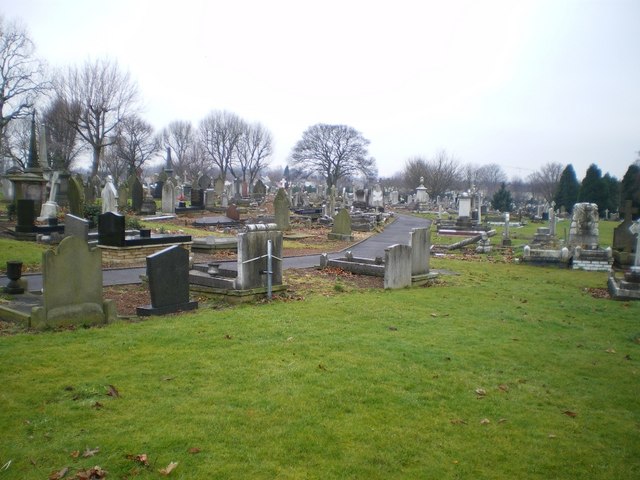
Bilston Cemetery
Getting here
52.57241, -2.08626
Visiting this summer
Seasonal nature notes and what to look for now
Visiting this summer
Seasonal nature notes and what to look for now
- 🌞Midsummer — early morning visits most comfortable; look for deer fawns in quieter clearings
- 🐕Early mornings are best for dog walks in summer — visit before 9am to avoid the heat and find quieter trails
- 🅿️Bilston C of E Primary School 256m away — 8 car parks within reach
🌤️ Visiting this summer
- 🌞Midsummer — early morning visits most comfortable; look for deer fawns in quieter clearings
- 🐕Early mornings are best for dog walks in summer — visit before 9am to avoid the heat and find quieter trails
- 🅿️Bilston C of E Primary School 256m away — 8 car parks within reach
Good to know
- £Free to visit — no entry charge
- 🐕Dogs welcome
Best for
Wildlife
Very strong match
Multi-group wildlife — Amphibians, Birds, Mammals; Multi-group wildlife — Amphibians, Birds, Mammals
Bird watching
Very strong match
Birds — Woodpigeon, Blackbird, Magpie +66 more · last seen 2026; Birds — Woodpigeon, Blackbird, Magpie +66 more · last seen 2026
Insect spotting
Strong match
Insects — Syrphus, Epistrophe eligans, Swollen-thighed Beetle +42 more · last seen 2025; Insects — Syrphus, Epistrophe eligans, Swollen-thighed Beetle +42 more · last seen 2025
Seasonal nature
Strong match
Plants — Alder, Cuckooflower, Germander Speedwell +15 more · last seen 2025; Plants — Alder, Cuckooflower, Germander Speedwell +15 more · last seen 2025
Dog walks
Good match
Dogs allowed with public access
Foraging
Good match
Plants — Elder, Hazel, Garlic Mustard +1 more foraging species
Trails nearby
Within roughly 5 km🚶Walking
22 signed routes nearby
Signed route nearby
Walking
Monarch's WayWalking route990 km
approximate route of Charles II's escape
Alder Coppice: Yellow PathWalking route
The shortest of three trails created alongside the designation of Alder Coppice into a Nature Reserve
Bilston to Loxdale Health WalkWalking route2.8 km
Self-guided health walk through Black Country Millenium Urban Forest sites. Route passes 15th century Greyhound & Punchbowl pub and Bradley Arm which is topped up by pumping water out of disused mines. Difficulty: Medium due to slopes Duration: 45-60 mins
Sedgley Heritage Trail 1Walking route2 km
The Sedgley Heritage Trails introduce some of the present-day and historical features of Sedgley. Walk 1 (Short Walk – red) begins at All Saints’ Church and is about 2km (1.25 miles) on flat ground and pavements.
Sedgley Heritage Trail 2Walking route3 km
The Sedgley Heritage Trails introduce some of the present-day and historical features of Sedgley. Walk 2 (Long Walk – green) begins at St Andrew’s Church and is about 3km (1.9 miles) with an incline to Beacon Tower and some unpaved sections.
🚴Cycling
99 signed routes nearby
Signed route nearby
Cycling
SCWIP Cycle Route 12Cycling route
[PROPOSED]Starley Regional Cycle NetworkCycling route804 km
Starley (TfWM) Regional Cycle Network (Proposed route)
Sneyd Junction to Cannock Extension CanalCycling route8.8 km
A semi-rural route following the curves of the canal, until it opens out into parkland at the Cannock Extension. Distance: 5.5 miles/8.8 km (approx) Duration: 45 min (approx)
National Cycle Network Route 81 (removed)Cycling route
SCWIP Cycle Route 8Cycling route
Dudley Port CircularCycling route14 km
Follow The Gower Branch, then turn right back onto The Old Main Line. For a more challenging route, continue along The New Main Line and cross at Bromford Junction. Take the ramp access to The Old Main Line and double back, crossing Blakeley Hall Bridge.
Wildlife to spot
Photos
Weather for this location
Loading local forecast…
Nearby places
Useful places within 5 km
Own or manage this place?
Claim this listing to keep details accurate, add photos, and highlight what makes it special — free.
Claim this pageHow was your visit?
How useful was the information on this page?
id: b821fa2d-6ea8-49a6-96cd-e0f6eb9a7dd2