Birds — Woodpigeon, Carrion Crow, Blue Tit +58 more · last seen 2025; Birds — Woodpigeon, Carrion Crow, Blue Tit +58 more · last seen 2025
Free
🍂
Seasonal nature
Strong match
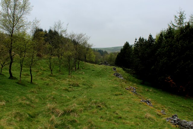
Ancient woodland — bluebells, fungi and autumn colour; Plants — Neat Feather-moss, Common Pincushion, Common Pawwort +62 more · last seen 2025
Free
🦋
Insect spotting
Strong match
Insects — Large Yellow Underwing, Snout, Dark Arches +91 more · last seen 2024; Insects — Large Yellow Underwing, Snout, Dark Arches +91 more · last seen 2024
Free
🐶
Dog walks
Strong match
Dogs allowed — public woodland
Free
🧺
Picnic day out
Strong match
picnic area
Free
Trails nearby
Within roughly 5 km
🚶
Walking
▾
5 signed routes nearby · 21 public paths nearby
Signed route nearbyPublic paths
Mary Towneley LoopWalking route▾
Forms part of Pennine Bridleway National Trail
Named routeRegional walking route
Irwell Sculpture TrailWalking route▾
Named routeRegional walking route
Rossendale WayWalking route▾
A high-level route around Bacup, Rawtenstall, Haslingden and Whitworth in the Rossendale Valley, crossing the open moors and farmland of the South Pennines which roughly follows the Rossendale Borough boundary.
Named routeRegional walking route
Todmorden Centenary WayWalking route▾
Named routeLocal walking route
Burnley WayWalking route▾
Named routeRef BuWRegional walking route
Monks House Ridepublic footpath · 831 m▾
Public pathpublic footpathLength 831 mSurface grassPath type: footway
Monks House Ridepublic footpath · 410 m▾
Public pathpublic footpathLength 410 mSurface grassPath type: footway
🚴
Cycling
▾
20 signed routes nearby
Signed route nearby
Pennine CyclewayCycling route▾
Named routeRef 68National Cycle Network
Lancashire Cycleway (Southern Loop)Cycling route▾
Named routeRef 91Regional cycle route
Route 604Cycling route▾
Named routeRef 604National Cycle Network
Main RouteCycling route147 m▾
Named routeRef 604Length 147 mNational Cycle NetworkTraffic-freeSurface asphalt
Main RouteCycling route10 m▾
Named routeRef 604Length 10 mNational Cycle NetworkTraffic-freeSurface asphalt
Main RouteCycling route29 m▾
Named routeRef 604Length 29 mNational Cycle NetworkTraffic-freeSurface asphalt
🚵
Mountain biking
▾
1 signed route nearby
Signed route nearby
Great North Trail (Yorkshire Dales)Mountain bike route172.2 km▾
Named routeLength 172.2 km
🐴
Horse riding
▾
1 public path nearby
Public paths
No named routes yet. Public paths are shown on the map.