Getting here
50.72039, -2.35788
Visiting this summer
Seasonal nature notes and what to look for now
Visiting this summer
Seasonal nature notes and what to look for now
- 🐦105+ species recorded in this area — summer evenings are best for activity; watch for Green Sandpiper and Goosander
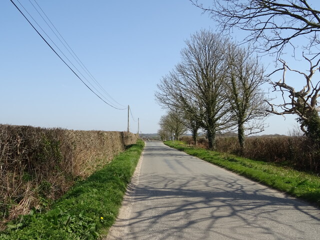
- 🥾Walking is best here in early morning in summer — quiet trails and good light before the heat
- 🐕Dogs welcome — bring water in summer; the site has enough space to find shade on hot days
🌤️ Visiting this summer
- 🐦105+ species recorded in this area — summer evenings are best for activity; watch for Green Sandpiper and Goosander
- 🥾Walking is best here in early morning in summer — quiet trails and good light before the heat
- 🐕Dogs welcome — bring water in summer; the site has enough space to find shade on hot days
Good to know
- £Free to visit — no entry charge
- 🐕Dogs welcome
Best for
Bird watching
Very strong match
Birds — Green Sandpiper, Goosander, Egyptian Goose +102 more · last seen 2025; Birds — Green Sandpiper, Goosander, Egyptian Goose +102 more · last seen 2025
Wildlife
Very strong match
Multi-group wildlife — Amphibians, Birds, Mammals, Reptiles; Multi-group wildlife — Amphibians, Birds, Mammals, Reptiles
Waterside walks
Good match
Grazing marsh and ditches — waterside walking
Insect spotting
Good match
Insects — Volucella pellucens, Scarlet Darter, Minotaur Beetle +11 more · last seen 2025; Insects — Volucella pellucens, Scarlet Darter, Minotaur Beetle +11 more · last seen 2025
Foraging
Good match
Deciduous woodland — fungi, berries and wild garlic
Forest walks
Moderate match
Public woodland
Trails nearby
Within roughly 5 km🚶Walking
4 signed routes nearby · 2 public paths nearby
Signed route nearbyPublic paths
Walking
Jubilee Trail (Dorset)Walking route
The Hardy WayWalking route
Frome Valley WayWalking route
Hardy’s cottage to Max GateWalking route
🚴Cycling
21 signed routes nearby
Signed route nearby
Cycling
Route 2Cycling route
National Cycle Route 2 Christchurch to Axminster
Purbeck RideCycling route
Main RouteCycling route324 m
Main RouteCycling route92 m
Main RouteCycling route85 m
Main RouteCycling route15 m
🐴Horse riding
5 public paths nearby
Public paths
Horse riding
No named routes yet. Public paths are shown on the map.
Wildlife to spot
Photos
Weather for this location
Loading local forecast…
Nearby places
Useful places within 5 km
Own or manage this place?
Claim this listing to keep details accurate, add photos, and highlight what makes it special — free.
Claim this pageHow was your visit?
How useful was the information on this page?
id: e61b9bdb-736f-4fdb-a06e-e4eb41c6b7da