Getting here
53.77711, -1.73945
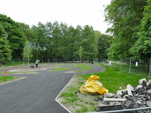
About BOWLING PARK
Bowling Park is a public urban park near Bolling Hall in Bradford, West Yorkshire, England about 1+1⁄2 miles (2. 4 km) south south east from the city centre. The park is irregularly shaped with an area of 50 acres (20 ha) and is bounded by Bowling Hall Road, Burras Road, Bowling Memorial Cemetery, Parkside Road, Avenue Road, Bowling Park Allotments and Bowling Park Drive.
Read more on Wikipedia →Visiting this summer
Seasonal nature notes and what to look for now
Visiting this summer
Seasonal nature notes and what to look for now
- 🌞Midsummer — early morning visits most comfortable; look for deer fawns in quieter clearings
- ✦Historic character is a year-round quality here — summer brings its own atmosphere to the setting
- 🛝Playground 127m away — built-in entertainment for younger visitors alongside the wider site
🌤️ Visiting this summer
- 🌞Midsummer — early morning visits most comfortable; look for deer fawns in quieter clearings
- ✦Historic character is a year-round quality here — summer brings its own atmosphere to the setting
- 🛝Playground 127m away — built-in entertainment for younger visitors alongside the wider site
Good to know
- 🐕Dogs welcome
Best for
Wildlife
Very strong match
Multi-group wildlife — Amphibians, Birds, Mammals; Multi-group wildlife — Amphibians, Birds, Mammals
Bird watching
Strong match
Birds — Magpie, Rock Dove, Woodpigeon +46 more · last seen 2025; Birds — Magpie, Rock Dove, Woodpigeon +46 more · last seen 2025
Seasonal nature
Strong match
Plants — Bluebell, Himalayan Balsam, Japanese Knotweed +22 more · last seen 2026; Plants — Bluebell, Himalayan Balsam, Japanese Knotweed +22 more · last seen 2026
Heritage
Strong match
Historic site
Insect spotting
Good match
Insects — Lily Beetle, Common Blue, Harlequin Ladybird +14 more · last seen 2026; Insects — Lily Beetle, Common Blue, Harlequin Ladybird +14 more · last seen 2026
Foraging
Good match
Deciduous woodland — fungi, berries and wild garlic
Trails nearby
Within roughly 5 km🚶Walking
7 signed routes nearby · 1 public path nearby
Signed route nearbyPublic paths
Walking
Kirklees WayWalking route116 km
Calderdale WayWalking route
Brighouse Boundary WalkWalking route29 km
Bronte WayWalking route71 km
Calverley Millenium WayWalking route
Boundary walk around Calverley
🚴Cycling
48 signed routes nearby
Signed route nearby
Cycling
Route 66Cycling route
Cycle Superhighway 1Cycling route
Main RouteCycling route73 m
N/ACycling route1.5 km
Main RouteCycling route9 m
Main RouteCycling route188 m
Wildlife to spot
Photos
Weather for this location
Loading local forecast…
Nearby places
Useful places within 5 km
Own or manage this place?
Claim this listing to keep details accurate, add photos, and highlight what makes it special — free.
Claim this pageHow was your visit?
How useful was the information on this page?
id: 043a037e-1a79-49ec-af61-1ad78ef5fe6e