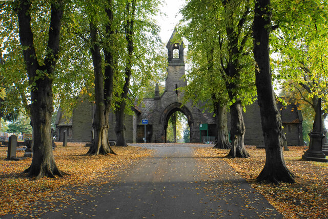
Brimington Cemetery
Getting here
53.25289, -1.40397
Visiting this summer
Seasonal nature notes and what to look for now
Visiting this summer
Seasonal nature notes and what to look for now
- 🌞Midsummer — early morning visits most comfortable; look for deer fawns in quieter clearings
- 🌿Foraging is at its best in summer here
- 🐕Dogs welcome — bring water in summer; the site has enough space to find shade on hot days
🌤️ Visiting this summer
- 🌞Midsummer — early morning visits most comfortable; look for deer fawns in quieter clearings
- 🌿Foraging is at its best in summer here
- 🐕Dogs welcome — bring water in summer; the site has enough space to find shade on hot days
Good to know
- £Free to visit — no entry charge
- 🐕Dogs welcome
Best for
Wildlife
Very strong match
Multi-group wildlife — Amphibians, Birds, Mammals, Reptiles; Multi-group wildlife — Amphibians, Birds, Mammals, Reptiles
Bird watching
Very strong match
Birds — Woodpigeon, Magpie, Blackbird +60 more · last seen 2026; Birds — Woodpigeon, Magpie, Blackbird +60 more · last seen 2026
Seasonal nature
Strong match
Plants — Giant Hogweed, Japanese Knotweed, Hogweed +67 more · last seen 2026; Plants — Giant Hogweed, Japanese Knotweed, Hogweed +67 more · last seen 2026
Foraging
Strong match
Plants — Hogweed, White Dead-nettle, Garlic Mustard +9 more foraging species; Deciduous woodland — fungi, berries and wild garlic
Cycling
Good match
Named cycling route nearby: Route 67
Dog walks
Good match
Dogs allowed with public access
Trails nearby
Within roughly 5 km🚶Walking
11 signed routes nearby · 8 public paths nearby
Signed route nearbyPublic paths
Walking
Chesterfield Round WalkWalking route
Cuckoo WayWalking route
South Chesterfield WayWalking route
Trans-Pennine Trail (Staveley to Chesterfield spur)Walking route
Dronfield Rotary WalkWalking route
Brimington FP 16public footpath · 814 m
Brimington FP 17public footpath · 212 m
Ivy House Farm Lanepublic footpath · 16 m
🚴Cycling
73 signed routes nearby
Signed route nearby
Cycling
Route 5Cycling route
Rother Valley WashlandsCycling route
Doorstep RideCycling route
LCN 3Cycling route
Route 67Cycling route
Main RouteCycling route133 m
🐴Horse riding
2 public paths nearby
Public paths
Horse riding
Balmoak Lanebridleway · 153 m
Wildlife to spot
Photos
Weather for this location
Loading local forecast…
Nearby places
Useful places within 5 km
Own or manage this place?
Claim this listing to keep details accurate, add photos, and highlight what makes it special — free.
Claim this pageHow was your visit?
How useful was the information on this page?
id: 68837a41-5de0-40de-924c-03db75ceb6cd