☀️June — canopy now fully closed, creating cool dappled shade even on warm days
🐕Early mornings are best for dog walks in summer — visit before 9am to avoid the heat and find quieter trails
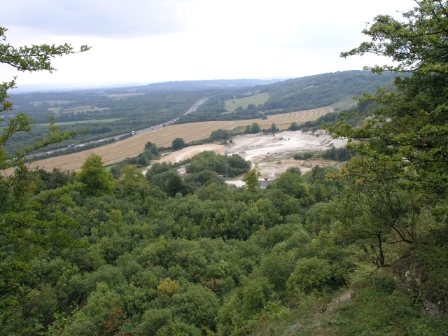
🅿️Parking nearby — easy to reach by car
🌤️ Visiting this summer
☀️June — canopy now fully closed, creating cool dappled shade even on warm days
🐕Early mornings are best for dog walks in summer — visit before 9am to avoid the heat and find quieter trails
🅿️Parking nearby — easy to reach by car
Good to know
£Free to visit — no entry charge
🐕Dogs welcome
🅿️Parking
Best for
7 activities
🐶
Dog walks
Strong match
Dogs allowed — public woodland
Free
🦉
Wildlife
Strong match
Deciduous woodland priority habitat
Free
🦅
Bird watching
Strong match
Deciduous woodland — woodpeckers, warblers and woodland birds
Free
🥾
Hiking
Good match
Named hiking route nearby: North Downs Way (Eastern)
Free
🌿
Foraging
Good match
Deciduous woodland — fungi, berries and wild garlic
Varies
🌲
Forest walks
Good match
Public woodland
Free
Trails nearby
Within roughly 5 km
🚶
Walking
▾
18 signed routes nearby · 10 public paths nearby
Signed route nearbyPublic paths
Greenwich Meridian TrailWalking route440 km▾
A long-distance walk that follows the line of the Prime Meridian. Inaugurated in 2009, to coincide with the 125th anniversary of the Greenwich Meridian.
Named routeRef GMTLength 440 kmRegional walking route
LOOP link to Whyteleafe stationWalking route▾
Named routeRegional walking route
Vanguard WayWalking route111 km▾
Named routeRef VGWLength 111 kmRegional walking route
Greensand way (Oxted Spur)Walking route▾
Named routeRegional walking route
Tandridge Border PathWalking route▾
Named routeLocal walking route
North Downs Way / Vanguard Waypublic footpath · 966 m▾
Public pathpublic footpathLength 966 mPath type: footway
🚴
Cycling
▾
40 signed routes nearby
Signed route nearby
Yew Tree WayCycling route▾
Named routeRegional cycle route
Route 21Cycling route▾
Named routeRef 21National Cycle Network
Surrey CyclewayCycling route▾
Catherham link
Named routeRegional cycle route
NCN National Route 21Cycling route▾
Named routeRef 21Point-to-pointNational Cycle Network
Limpsfield Community Cycle RouteCycling route▾
Named routeLocal cycle route
Surrey CyclewayCycling route▾
Cycle route consisting of main loop plus link routes
Named routeRound tripRegional cycle route
🐴
Horse riding
▾
5 public paths nearby
Public paths
Southview Roadbridleway · 613 m▾
Public pathbridlewayLength 613 mPath type: track
Southview Roadbridleway · 388 m▾
Public pathbridlewayLength 388 mPath type: unclassified