Plan your visit
Getting here
51.49232, -1.14543
Visiting this summer
Seasonal nature notes and what to look for now
Visiting this summer
Seasonal nature notes and what to look for now
- 🌞Midsummer — early morning visits most comfortable; look for deer fawns in quieter clearings
- 🐕Early mornings are best for dog walks in summer — visit before 9am to avoid the heat and find quieter trails
- 🛝Playground 214m away — built-in entertainment for younger visitors alongside the wider site
🌤️ Visiting this summer
- 🌞Midsummer — early morning visits most comfortable; look for deer fawns in quieter clearings
- 🐕Early mornings are best for dog walks in summer — visit before 9am to avoid the heat and find quieter trails
- 🛝Playground 214m away — built-in entertainment for younger visitors alongside the wider site
Good to know
- £Free to visit — no entry charge
- 🐕Dogs welcome
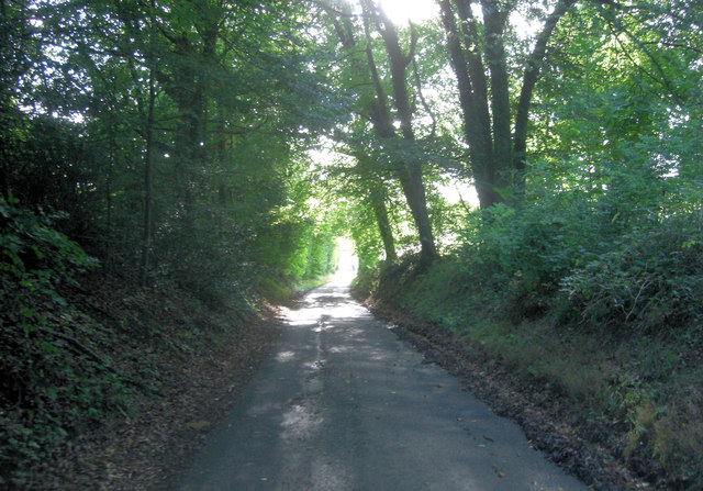
- 🌿Ancient woodland — rare wildlife habitat
Best for
Wildlife
Strong match
Deciduous woodland priority habitat; Ancient woodland
Insect spotting
Strong match
Chalk and limestone grassland — chalkhill blue, adonis blue and rare moths
Dog walks
Strong match
Dogs allowed — public woodland
Playgrounds
Strong match
playground, parking
Seasonal nature
Strong match
Ancient woodland — bluebells, fungi and autumn colour
Family friendly
Strong match
playground
Trails nearby
Within roughly 5 km🚶Walking
13 signed routes nearby
Signed route nearby
Walking
The RidgewayWalking route140 km
The Chiltern Way Southern ExtensionWalking route
Long distance path
The Roman WayWalking route274.5 km
European walking route E2 west, UK, South East EnglandWalking route
Westroute: Stranraer (UK) - Birminhgham (UK) - Calais (FR) - Zoersel (BE) / Eastroute: Stranraer (UK) - Harwich (UK) - Rotterdam (NL) - Zoersel (BE) / Both Routes: Zoersel (BE) - Maastrich (NL) - Luxembourg (LUX) - Lake Geneva (CH) - Nice (FR)
Woodland Walk, Basildon ParkWalking route2.4 km
This route goes through the woodland and across our landscape parkland. Suitable for all terrain pushchairs. Potential for livestock on route.
🚴Cycling
1 signed route nearby
Signed route nearby
Cycling
Round Berkshire Cycle RouteCycling route
🚵Mountain biking
1 signed route nearby
Signed route nearby
Mountain biking
King Alfred's WayMountain bike route
King Alfreds Way is 350km (220 miles) off road route designed to be ridden clockwise. It starts & ends in Winchester. It is suitable for gravel or cross-country bikes.
Wildlife to spot
Photos
Weather for this location
Loading local forecast…
Nearby places
Useful places within 5 km
Own or manage this place?
Claim this listing to keep details accurate, add photos, and highlight what makes it special — free.
Claim this pageHow was your visit?
How useful was the information on this page?
id: 622ce234-1ab0-4d35-b07f-8e65a1bc2646