Plan your visit
Getting here
51.52039, -0.87669
Visiting this summer
Seasonal nature notes and what to look for now
Visiting this summer
Seasonal nature notes and what to look for now
- 🌞Midsummer — early morning visits most comfortable; look for deer fawns in quieter clearings
- 🐕Early mornings are best for dog walks in summer — visit before 9am to avoid the heat and find quieter trails
- 🅿️Parking 419m away — 2 car parks within reach
🌤️ Visiting this summer
- 🌞Midsummer — early morning visits most comfortable; look for deer fawns in quieter clearings
- 🐕Early mornings are best for dog walks in summer — visit before 9am to avoid the heat and find quieter trails
- 🅿️Parking 419m away — 2 car parks within reach
Good to know
- £Free to visit — no entry charge
- 🐕Dogs welcome
Best for
Dog walks
Strong match
Dogs allowed — public woodland
Wildlife
Strong match
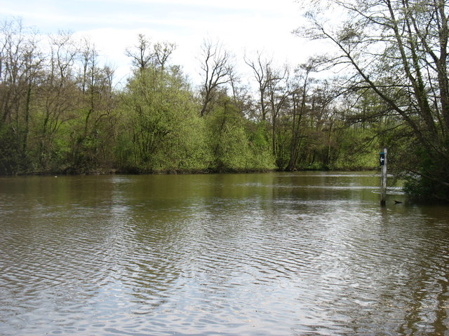
Lowland fens priority habitat
Bird watching
Strong match
Lowland fens — specialist fen birds and passage waders
Insect spotting
Strong match
Lowland fens — fen dragonflies and rare invertebrates
Hiking
Good match
Named hiking route nearby: European walking route E2 west, UK, South East England
Foraging
Good match
Deciduous woodland — fungi, berries and wild garlic
Trails nearby
Within roughly 5 km🚶Walking
9 signed routes nearby · 23 public paths nearby
Signed route nearbyPublic paths
Walking
Oxfordshire WayWalking route110 km
a traverse of Oxfordshire from the Cotswolds to the Chilterns
The Chiltern Way Southern ExtensionWalking route
Long distance path
The Chiltern Way Berkshire LoopWalking route28 km
Long distance path
European walking route E2 west, UK, South East EnglandWalking route
Westroute: Stranraer (UK) - Birminhgham (UK) - Calais (FR) - Zoersel (BE) / Eastroute: Stranraer (UK) - Harwich (UK) - Rotterdam (NL) - Zoersel (BE) / Both Routes: Zoersel (BE) - Maastrich (NL) - Luxembourg (LUX) - Lake Geneva (CH) - Nice (FR)
The Wokingham WayWalking route
Bolney Roadpublic footpath · 114 m
Bolney Roadpublic footpath · 361 m
14public footpath · 374 m
🚴Cycling
25 signed routes nearby
Signed route nearby
Cycling
Link to NCN 4Cycling route
Round Berkshire Cycle RouteCycling route
Reading R4Cycling route
EuroVelo 2 - Capitals Route - part United Kingdom 5Cycling route
Chilterns CyclewayCycling route
Route 4Cycling route
🐴Horse riding
1 public path nearby
Public paths
Horse riding
Bolney Lanebyway open to all traffic · 214 m
Wildlife to spot
Photos
Weather for this location
Loading local forecast…
Nearby places
Useful places within 5 km
Own or manage this place?
Claim this listing to keep details accurate, add photos, and highlight what makes it special — free.
Claim this pageHow was your visit?
How useful was the information on this page?
id: a1b956a6-fae7-426b-93b2-ac6b7c6369f0