Plan your visit
Getting here
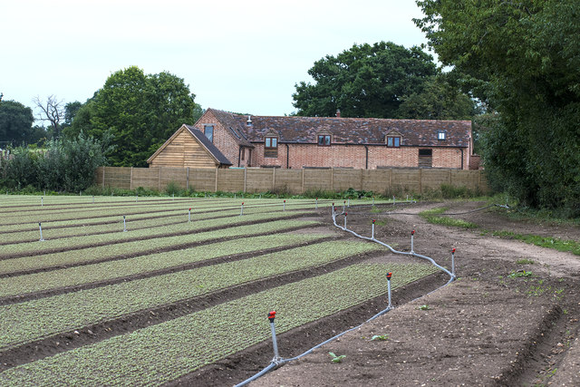
52.21825, -1.62490
Visiting this summer
Seasonal nature notes and what to look for now
Visiting this summer
Seasonal nature notes and what to look for now
- 🌞Midsummer — early morning visits most comfortable; look for deer fawns in quieter clearings
- 🥾Walking is best here in early morning in summer — quiet trails and good light before the heat
- 🐕Dogs welcome — bring water in summer; the site has enough space to find shade on hot days
🌤️ Visiting this summer
- 🌞Midsummer — early morning visits most comfortable; look for deer fawns in quieter clearings
- 🥾Walking is best here in early morning in summer — quiet trails and good light before the heat
- 🐕Dogs welcome — bring water in summer; the site has enough space to find shade on hot days
Good to know
- £Free to visit — no entry charge
- 🐕Dogs welcome
Best for
Bird watching
Strong match
Grazing marsh — lapwing, redshank, snipe and wintering wildfowl
Wildlife
Strong match
Coastal and floodplain grazing marsh priority habitat
Waterside walks
Good match
Grazing marsh and ditches — waterside walking
Foraging
Good match
Deciduous woodland — fungi, berries and wild garlic
Forest walks
Moderate match
Public woodland
Trails nearby
Within roughly 5 km🚶Walking
3 signed routes nearby · 2 public paths nearby
Signed route nearbyPublic paths
Walking
Monarch's WayWalking route990 km
approximate route of Charles II's escape
Shakespeare's Avon WayWalking route142 km
From the source at Naseby, Northamptonshire to the Severn at Tewkesbury
Parkland Walk, Charlecote ParkWalking route1.8 km
A circular stroll along mown grassy paths. Flat enough for big-wheeled buggies in dry conditions. We recommend sturdy footwear throughout the year.
🚴Cycling
20 signed routes nearby
Signed route nearby
Cycling
Route 41Cycling route
Warwick-Leamington-WellesbourneCycling route
Main RouteCycling route199 m
Main RouteCycling route76 m
Main RouteCycling route725 m
Main RouteCycling route511 m
🚵Mountain biking
1 signed route nearby
Signed route nearby
Mountain biking
Compton Verney mountain bike routeMountain bike route
🐴Horse riding
2 public paths nearby
Public paths
Horse riding
No named routes yet. Public paths are shown on the map.
Wildlife to spot
Photos
Weather for this location
Loading local forecast…
Nearby places
Useful places within 5 km
Own or manage this place?
Claim this listing to keep details accurate, add photos, and highlight what makes it special — free.
Claim this pageHow was your visit?
How useful was the information on this page?
id: 1f340d68-6d11-4f15-a602-be813ab4d764