Getting here
52.34323, -1.53700
Visiting this summer
Seasonal nature notes and what to look for now
Visiting this summer
Seasonal nature notes and what to look for now
- 🌞Midsummer — early morning visits most comfortable; look for deer fawns in quieter clearings
- 🥾Walking is best here in early morning in summer — quiet trails and good light before the heat
- 🐕Dogs welcome — bring water in summer; the site has enough space to find shade on hot days
🌤️ Visiting this summer
- 🌞Midsummer — early morning visits most comfortable; look for deer fawns in quieter clearings
- 🥾Walking is best here in early morning in summer — quiet trails and good light before the heat
- 🐕Dogs welcome — bring water in summer; the site has enough space to find shade on hot days
Good to know
- £Free to visit — no entry charge
- 🐕Dogs welcome
Best for
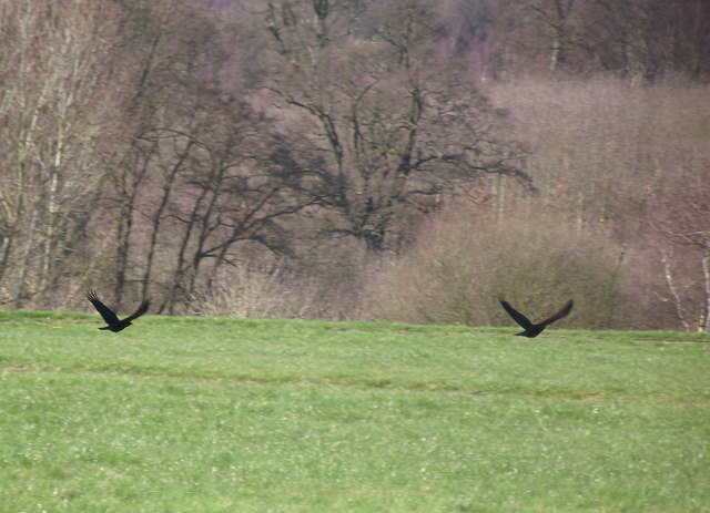
Bird watching
Strong match
Grazing marsh — lapwing, redshank, snipe and wintering wildfowl
Wildlife
Strong match
Deciduous woodland priority habitat
Waterside walks
Good match
Grazing marsh and ditches — waterside walking
Foraging
Good match
Deciduous woodland — fungi, berries and wild garlic
Forest walks
Moderate match
Public woodland
Trails nearby
Within roughly 5 km🚶Walking
22 signed routes nearby · 1 public path nearby
Signed route nearbyPublic paths
Walking
Centenary WayWalking route
Millennium TrailWalking route
A Coventry WayWalking route
Shakespeare's Avon WayWalking route142 km
From the source at Naseby, Northamptonshire to the Severn at Tewkesbury
Millennium Way (Warks)Walking route100 km
A 100 mile long distance footpath, across the centre of England from Pershore to Chipping Warden via Meriden.
🚴Cycling
40 signed routes nearby
Signed route nearby
Cycling
Route 52Cycling route
Cycle Coventry Route 10Cycling route
Cycle Coventry Route 11Cycling route
National Cycle Network National Route 523Cycling route
[PROPOSED]Starley Regional Cycle NetworkCycling route804 km
Starley (TfWM) Regional Cycle Network (Proposed route)
Main RouteCycling route1.2 km
Wildlife to spot
Photos
Weather for this location
Loading local forecast…
Nearby places
Useful places within 5 km
Own or manage this place?
Claim this listing to keep details accurate, add photos, and highlight what makes it special — free.
Claim this pageHow was your visit?
How useful was the information on this page?
id: 3aea4683-bbbc-4af5-b8fc-26ee83917f86