Getting here
52.39963, -1.91620
Visiting this summer
Seasonal nature notes and what to look for now
Visiting this summer
Seasonal nature notes and what to look for now
- 🌞Midsummer — early morning visits most comfortable; look for deer fawns in quieter clearings
- 🐕Early mornings are best for dog walks in summer — visit before 9am to avoid the heat and find quieter trails
- 📍Open access throughout summer — no booking required
🌤️ Visiting this summer
- 🌞Midsummer — early morning visits most comfortable; look for deer fawns in quieter clearings
- 🐕Early mornings are best for dog walks in summer — visit before 9am to avoid the heat and find quieter trails
- 📍Open access throughout summer — no booking required
Good to know
- £Free to visit — no entry charge
- 🐕Dogs welcome
Best for
Dog walks
Strong match
Dogs allowed — public woodland
Wildlife
Strong match
Deciduous woodland priority habitat
Bird watching
Strong match
Deciduous woodland — woodpeckers, warblers and woodland birds
Foraging
Good match
Deciduous woodland — fungi, berries and wild garlic
Forest walks
Good match
Public woodland
Trails nearby
Within roughly 5 km🚶Walking
10 signed routes nearby · 18 public paths nearby
Signed route nearbyPublic paths
Walking
Millstream WayWalking route
Rail Trail: Wythall > ShirleyWalking route4.8 km
A 3-mile wander through the pasture and meadows around the outer Shirley suburbs of Major’s Green and Hollywood. Eyes peeled for the Iron Age hillfort! Duration: 1.5 hours Distance: 3 miles
Rail Trail: Whitlocks End > ShirleyWalking route2.8 km
A 1.75-mile short and sweet ramble across fields, through Christmas Trees(!) and over the Stratford-upon-Avon Canal to Shirley. Duration: 1 hour Distance: 1.75 miles
Rail Trail: Earlswood > WythallWalking route2.8 km
A 1.75-mile short and easy route to Earlswood passing through farm and heathland, crossing the River Cole, and skirting Fulford Golf Course. Duration: 1 hour Distance: 1.75 miles
North Worcestershire PathWalking route
Leydon Croftpublic footpath · 93 m
Vista Greenpublic footpath · 126 m
Vista Greenpublic footpath · 132 m
🚴Cycling
63 signed routes nearby
Signed route nearby
Cycling
National Cycle Network Route 5Cycling route
Merrits Brook GreenwayCycling route
Rea Valley RouteCycling route
NCN 5 section of Rea Valley Route
[PROPOSED]Starley Regional Cycle NetworkCycling route804 km
Starley (TfWM) Regional Cycle Network (Proposed route)
Route 55Cycling route
Cole Valley RouteCycling route
🐴Horse riding
1 public path nearby
Public paths
Horse riding
No named routes yet. Public paths are shown on the map.
Wildlife to spot
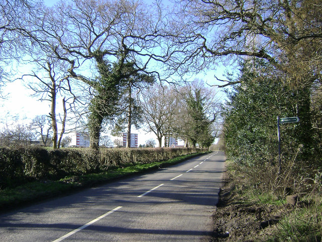
Photos
Weather for this location
Loading local forecast…
Nearby places
Useful places within 5 km
Own or manage this place?
Claim this listing to keep details accurate, add photos, and highlight what makes it special — free.
Claim this pageHow was your visit?
How useful was the information on this page?
id: b7532002-1ea3-4c2b-9b41-888c6e853b7e