🌞Midsummer — early morning visits most comfortable; look for deer fawns in quieter clearings
🐕Early mornings are best for dog walks in summer — visit before 9am to avoid the heat and find quieter trails
📍Open access throughout summer — no booking required
🌤️ Visiting this summer
🌞Midsummer — early morning visits most comfortable; look for deer fawns in quieter clearings
🐕Early mornings are best for dog walks in summer — visit before 9am to avoid the heat and find quieter trails
📍Open access throughout summer — no booking required
Good to know
£Free to visit — no entry charge
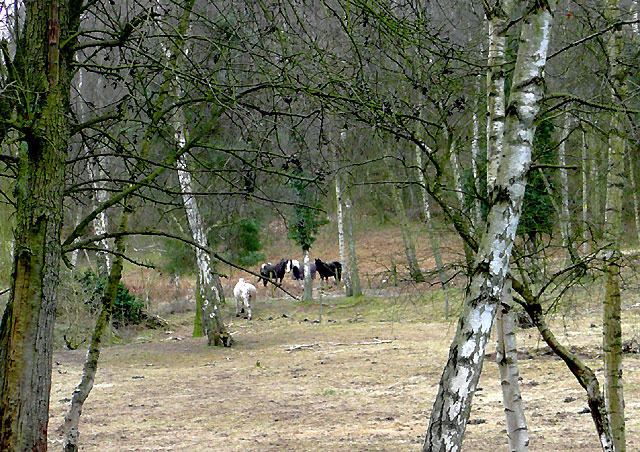
🐕Dogs welcome
Best for
7 activities
🐶
Dog walks
Strong match
Dogs allowed — public woodland
Free
🦉
Wildlife
Strong match
Deciduous woodland priority habitat
Free
🦅
Bird watching
Strong match
Deciduous woodland — woodpeckers, warblers and woodland birds
Free
🌿
Foraging
Good match
Deciduous woodland — fungi, berries and wild garlic
Varies
🌲
Forest walks
Good match
Public woodland
Free
🍂
Seasonal nature
Good match
Broadleaved woodland — spring blossom and autumn colour
Free
Trails nearby
Within roughly 5 km
🚶
Walking
▾
14 signed routes nearby · 3 public paths nearby
Signed route nearbyPublic paths
Monarch's WayWalking route990 km▾
approximate route of Charles II's escape
Named routeRef MWLength 990 kmRegional walking route
North Worcestershire PathWalking route▾
Named routeRegional walking route
Geopark WayWalking route175 km▾
Named routeRef geoLength 175 kmRegional walking route
Habberley Valley Circular WalkWalking route4 km▾
Named routeLength 4 kmLocal walking route
Black Country Canals: The Dudley & Stourbridge RingWalking route▾
'Circuit' of Canals surrounding Dudley & Stourbridge. Follow the fascinating network of junctions and branches through scenery varying from industrial warehouses to suprisingly secluded rural lengths.
Named routeRef BCCRound tripRegional walking route
🚴
Cycling
▾
32 signed routes nearby
Signed route nearby
Mercian WayCycling route▾
Named routeRef 45National Cycle Network
Route 54Cycling route▾
Named routeRef 54National Cycle Network
Route 4Cycling route▾
Named routeRef 4Local cycle route
Route 49Cycling route▾
Named routeRef 49Regional cycle route
Main RouteCycling route51 m▾
Named routeRef 54Length 51 mNational Cycle NetworkTraffic-freeSurface asphalt
Main RouteCycling route22 m▾
Named routeRef 45Length 22 mNational Cycle NetworkOn-roadSurface asphalt
🐴
Horse riding
▾
12 public paths nearby
Public paths
542Brestricted byway · 447 m▾
Public pathrestricted bywayLength 447 mSurface unpavedPath type: bridleway
Castle Hillbridleway · 1 km▾
Public pathbridlewayLength 1 kmPath type: track
Copes Lanebridleway · 161 m▾
Public pathbridlewayLength 161 mSurface asphaltPath type: track