Getting here
52.46386, -2.11932
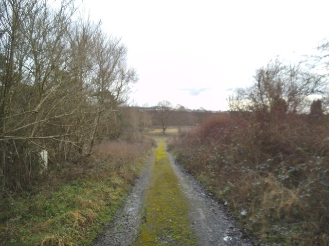
Visiting this summer
Seasonal nature notes and what to look for now
Visiting this summer
Seasonal nature notes and what to look for now
- 🌞Midsummer — early morning visits most comfortable; look for deer fawns in quieter clearings
- 🌿Foraging is at its best in summer here
- 🐕Dogs welcome — bring water in summer; the site has enough space to find shade on hot days
🌤️ Visiting this summer
- 🌞Midsummer — early morning visits most comfortable; look for deer fawns in quieter clearings
- 🌿Foraging is at its best in summer here
- 🐕Dogs welcome — bring water in summer; the site has enough space to find shade on hot days
Good to know
- £Free to visit — no entry charge
- 🐕Dogs welcome
Best for
Wildlife
Strong match
Deciduous woodland priority habitat
Bird watching
Strong match
Deciduous woodland — woodpeckers, warblers and woodland birds
Foraging
Good match
Deciduous woodland — fungi, berries and wild garlic
Forest walks
Moderate match
Public woodland
Trails nearby
Within roughly 5 km🚶Walking
30 signed routes nearby · 3 public paths nearby
Signed route nearbyPublic paths
Walking
Monarch's WayWalking route990 km
approximate route of Charles II's escape
Sculpture Trail (Saltwells LNR)Walking route1 km
Sculpture trail around a bluebell covered Ancient Woodland and nationally important heritage urban nature reserve.
Dudley Geological Heritage TrailWalking route
Discover millions of years of geological history along this heritage trail. This tour allows you to experience Dudley’s fascinating history through its buildings.
Lye Town History TrailWalking route
Discover the hidden history and architecture of Lye High Street along this clockwise circular trail. Duration: 54 mins
The Lye & Wollescote Cemetery TrailWalking route
Take a stroll around the tranquil surroundings of The Lye & Wollescote Cemetery to discover the fascinating stories of some of those who shaped the town’s history. Duration: 45 mins
Bott Lanepublic footpath · 266 m
Bott Lanepublic footpath · 27 m
🚴Cycling
40 signed routes nearby
Signed route nearby
Cycling
Route 54Cycling route
Cycle Route Cradley Heath to Black HeathCycling route
Stourbridge Arm Cycle RouteCycling route
[PROPOSED]Starley Regional Cycle NetworkCycling route804 km
Starley (TfWM) Regional Cycle Network (Proposed route)
National Cycle Network 54 (removed)Cycling route
cycle route Cradley Heath to Old HillCycling route
Wildlife to spot
Photos
Weather for this location
Loading local forecast…
Nearby places
Useful places within 5 km
Own or manage this place?
Claim this listing to keep details accurate, add photos, and highlight what makes it special — free.
Claim this pageHow was your visit?
How useful was the information on this page?
id: 9677a269-ba2e-4d94-ba8e-2eab583c959c