Hall Wood - Broadleaved woodland
43 ha
Plan your visit
🐶Dogs🌿Foraging🦉Wildlife
Public accessFree entryDogs welcome43 ha
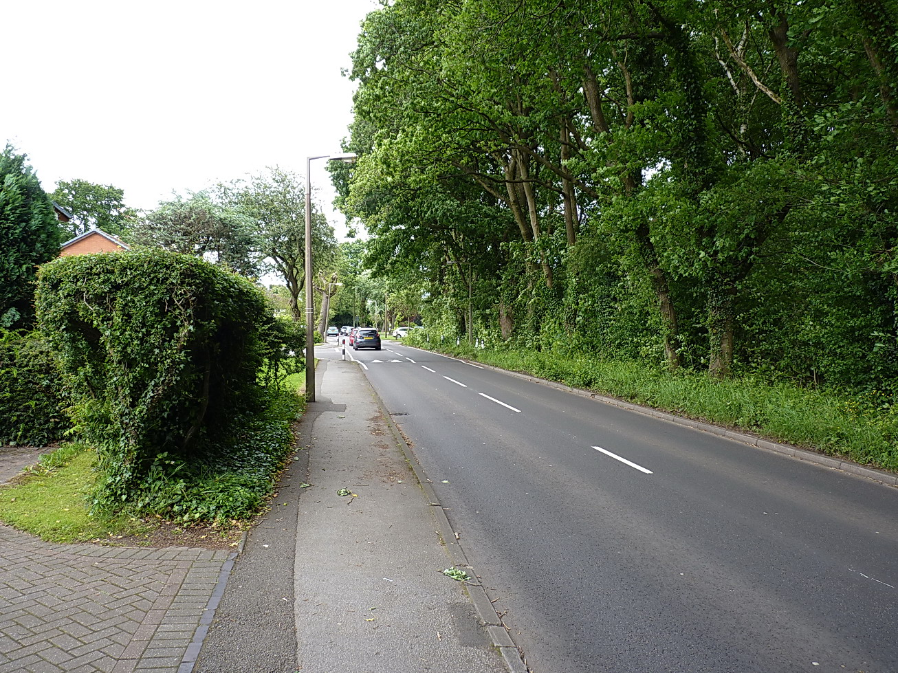
Getting here
51.56320, 0.39715
Open directionsv
Visiting this summer
Seasonal nature notes and what to look for now
- ☀️June — canopy now fully closed, creating cool dappled shade even on warm days
- 🐕Early mornings are best for dog walks in summer — visit before 9am to avoid the heat and find quieter trails
- 🅿️Visitors Parking 26m away — 10 car parks within reach
🌤️ Visiting this summer
- ☀️June — canopy now fully closed, creating cool dappled shade even on warm days
- 🐕Early mornings are best for dog walks in summer — visit before 9am to avoid the heat and find quieter trails
- 🅿️Visitors Parking 26m away — 10 car parks within reach
- £Free to visit — no entry charge
- 🐕Dogs welcome
Dogs allowed — public woodland
Free
Traditional orchard — seasonal fruit, fungi and wild plants
Varies
Deciduous woodland priority habitat
Free
🦋Insect spotting
Strong match
Lowland meadows — marbled white, meadow brown and pollinating insects
Free
🦅Bird watching
Strong match
Deciduous woodland — woodpeckers, warblers and woodland birds
Free
Trails nearby
Within roughly 5 km2 signed routes nearby · 27 public paths nearby
Signed route nearbyPublic paths
Thames Estuary PathWalking route46.6 km▾
Named routeLength 46.6 kmNational walking route
King Charles III England Coast Path: Tilbury to Southend-on-SeaWalking route▾
Named routeRef ECPNational walking route
Hillcrest Avenuepublic footpath · 669 m▾
Public pathpublic footpathLength 669 mPath type: footway
Mollys Drivepublic footpath · 58 m▾
Public pathpublic footpathLength 58 mSurface unpavedPath type: footway
Second Avenuepublic footpath · 411 m▾
Public pathpublic footpathLength 411 mPath type: footway
47 signed routes nearby
Signed route nearby
NCN National Route 13Cycling route▾
Named routeRef 13National Cycle Network
National Cycle Route 16Cycling route▾
Named routeRef 16National Cycle Network
Main RouteCycling route123 m▾
Named routeRef 13Length 123 mNational Cycle NetworkTraffic-freeSurface asphalt
Main RouteCycling route181 m▾
Named routeRef 13Length 181 mNational Cycle NetworkTraffic-freeSurface asphalt
Main RouteCycling route29 m▾
Named routeRef 13Length 29 mNational Cycle NetworkOn-roadSurface asphalt
Main RouteCycling route794 m▾
Named routeRef 13Length 794 mNational Cycle NetworkTraffic-freeSurface asphalt
24 public paths nearby
Public paths
First Avenuebridleway · 412 m▾
Public pathbridlewayLength 412 mPath type: bridleway
Hillcrest Avenuebridleway · 42 m▾
Public pathbridlewayLength 42 mPath type: bridleway
Third Avenuebridleway · 1.3 km▾
Public pathbridlewayLength 1.3 kmPath type: bridleway
Plotlandsbridleway · 128 m▾
Public pathbridlewayLength 128 mPath type: bridleway
Egerton Drivebridleway · 442 m▾
Public pathbridlewayLength 442 mPath type: bridleway
Weather for this location
Next 14 daysNearby places
Useful places within 5 km
How useful was the information on this page?
id: fbbdf1c0-a525-4af1-ac30-3c60630fcf51
Wildlife to spot
24,143 records · National Biodiversity Network
Wildlife to spot
24,143 records · National Biodiversity Network🐦Birds29 species
springsummer
2026▾
Blackcap · Woodpigeon · Magpie · Carrion Crow · Mute Swan +24
- BlackcapSylvia atricapilla2025
- WoodpigeonColumba palumbus2025
- MagpiePica pica2025
- Carrion CrowCorvus corone2025
- Mute SwanCygnus olor2025
- MallardAnas platyrhynchos2025
- MoorhenGallinula chloropus2025
- Great TitParus major2025
- CootFulica atra2025
- Great Spotted WoodpeckerDendrocopos major2025
- FieldfareTurdus pilaris
- JackdawColoeus monedula2025
- House SparrowPasser domesticus2025
- Herring GullLarus argentatus2025
- Blue TitCyanistes caeruleus2025
- ChiffchaffPhylloscopus collybita2025
- Stock DoveColumba oenas2025
- Long-tailed TitAegithalos caudatus2025
- JayGarrulus glandarius2025
- KestrelFalco tinnunculus2025
- RookCorvus frugilegus2025
- SwallowHirundo rustica2025
- WrenTroglodytes troglodytes2025
- BlackbirdTurdus merula2025
- GoldfinchCarduelis carduelis2025
- Rock DoveColumba livia2025
- WhitethroatCurruca communis2025
- Lesser Black-backed GullLarus fuscus2025
- Green WoodpeckerPicus viridis2025
🦌Mammals3 species
springsummer
2025▾
Common Pipistrelle · Red Fox · Grey Squirrel
- Common PipistrellePipistrellus pipistrellus
- Red FoxVulpes vulpes
- Grey SquirrelSciurus carolinensis
Slow-worm · Adder
- Slow-wormAnguis fragilis
- AdderVipera berus
🐸Amphibians2 species
winterspring
2026▾
Common Toad · Smooth Newt
- Common ToadBufo bufo
- Smooth NewtLissotriton vulgaris2025
Emperor Dragonfly · Speckled Wood · Large White · Liorhyssus hyalinus · Pea-leaf Weevil +75
- Emperor DragonflyAnax imperator2025
- Speckled WoodPararge aegeria2025
- Large WhitePieris brassicae2025
- Liorhyssus hyalinusLiorhyssus hyalinus2025
- Pea-leaf WeevilSitona lineatus2025
- Jersey TigerEuplagia quadripunctaria
Species observations from the last 10 years via NBN Atlas
2025
2025
PeacockAglais io2025PeacockAglais io2025Silver-washed FritillaryArgynnis paphia2025Silver-washed FritillaryArgynnis paphia2025WallLasiommata megera2025WallLasiommata megera2025Corizus hyoscyamiCorizus hyoscyami2025Corizus hyoscyamiCorizus hyoscyami2025Eristalinus sepulchralisEristalinus sepulchralis2025Eristalinus sepulchralisEristalinus sepulchralis2025Field GrasshopperChorthippus brunneus2025Field GrasshopperChorthippus brunneus2025Mocydia croceaMocydia crocea2025Mocydia croceaMocydia crocea2025Strawberry-blossom WeevilAnthonomus rubi2025Strawberry-blossom WeevilAnthonomus rubi2025Anthicus antherinusAnthicus antherinus2025Anthicus antherinusAnthicus antherinus2025Banded DemoiselleCalopteryx splendens2025Banded DemoiselleCalopteryx splendens2025Red AdmiralVanessa atalanta2025Red AdmiralVanessa atalanta2025Meadow BrownManiola jurtina2025Meadow BrownManiola jurtina2025Common BluePolyommatus icarus2025Common BluePolyommatus icarus2025CommaPolygonia c-album2025CommaPolygonia c-album2025Batracomorphus allioniiBatracomorphus allionii2025Batracomorphus allioniiBatracomorphus allionii2025Black-tailed SkimmerOrthetrum cancellatum2025Black-tailed SkimmerOrthetrum cancellatum2025Red-headed Cardinal BeetlePyrochroa serraticornis2025Red-headed Cardinal BeetlePyrochroa serraticornis2025Dark-edged Bee-flyBombylius major2025Dark-edged Bee-flyBombylius major2025Epistrophe eligansEpistrophe eligansEpistrophe eligansEpistrophe eligansBruchidius variusBruchidius varius2025Bruchidius variusBruchidius varius2025Syritta pipiensSyritta pipiens2025Syritta pipiensSyritta pipiens2025Toadflax BrocadeCalophasia lunula2025Toadflax BrocadeCalophasia lunula2025Helophilus pendulusHelophilus pendulus2025Helophilus pendulusHelophilus pendulus2025Tachina feraTachina fera2025Tachina feraTachina fera2025Eriothrix rufomaculataEriothrix rufomaculata2025Eriothrix rufomaculataEriothrix rufomaculata202522-spot LadybirdPsyllobora vigintiduopunctata202522-spot LadybirdPsyllobora vigintiduopunctata2025Bruchidius imbricornisBruchidius imbricornis2025Bruchidius imbricornisBruchidius imbricornis2025Slender Ground-hopperTetrix subulata2025Slender Ground-hopperTetrix subulata202514-spot LadybirdPropylea quattuordecimpunctata202514-spot LadybirdPropylea quattuordecimpunctata2025Ivy BeeColletes hederae2025Ivy BeeColletes hederae2025Western Honey BeeApis mellifera2025Western Honey BeeApis mellifera2025Chaetorellia jaceaeChaetorellia jaceae2025Chaetorellia jaceaeChaetorellia jaceae2025Hornet HoverflyVolucella zonaria2025Hornet HoverflyVolucella zonaria2025Bee WolfPhilanthus triangulum2025Bee WolfPhilanthus triangulum2025Charagochilus (Charagochilus) gyllenhaliiCharagochilus (Charagochilus) gyllenhalii2025Charagochilus (Charagochilus) gyllenhaliiCharagochilus (Charagochilus) gyllenhalii2025Batman HoverflyMyathropa florea2025Batman HoverflyMyathropa florea2025Small HeathCoenonympha pamphilus2025Small HeathCoenonympha pamphilus2025Dicyphus (Brachyceroea) annulatusDicyphus (Brachyceroea) annulatus2025Dicyphus (Brachyceroea) annulatusDicyphus (Brachyceroea) annulatus2025SphaerophoriaSphaerophoria2025SphaerophoriaSphaerophoria2025Rhyzobius lituraRhyzobius litura2025Rhyzobius lituraRhyzobius litura2025Cuckoo-Spit InsectPhilaenus spumarius2025Cuckoo-Spit InsectPhilaenus spumarius2025Cryptocephalus pusillusCryptocephalus pusillus2025Cryptocephalus pusillusCryptocephalus pusillus2025Cloaked MinorMesoligia furuncula2025Cloaked MinorMesoligia furuncula2025Shiny-vented Sharp-tail BeeCoelioxys inermis2025Shiny-vented Sharp-tail BeeCoelioxys inermis2025Stictopleurus punctatonervosusStictopleurus punctatonervosus2025Stictopleurus punctatonervosusStictopleurus punctatonervosus2025Eristalis tenaxEristalis tenax2025Eristalis tenaxEristalis tenax2025Dark Bush-cricketPholidoptera griseoaptera2025Dark Bush-cricketPholidoptera griseoaptera2025Red-legged ShieldbugPentatoma rufipes2025Red-legged ShieldbugPentatoma rufipes2025Migrant HawkerAeshna mixta2025Migrant HawkerAeshna mixta2025Southern Migrant HawkerAeshna affinis2025Southern Migrant HawkerAeshna affinis2025Ruddy DarterSympetrum sanguineum2025Ruddy DarterSympetrum sanguineum2025Common DarterSympetrum striolatum2025Common DarterSympetrum striolatum2025Small WhitePieris rapae2025Small WhitePieris rapae2025Small CopperLycaena phlaeas2025Small CopperLycaena phlaeas2025Essex SkipperThymelicus lineola2025Essex SkipperThymelicus lineola2025GatekeeperPyronia tithonus2025GatekeeperPyronia tithonus2025RingletAphantopus hyperantus2025RingletAphantopus hyperantus2025Brown ArgusAricia agestis2025Brown ArgusAricia agestis2025Aphanisticus pusillusAphanisticus pusillus2025Aphanisticus pusillusAphanisticus pusillus2025Broad CenturionChloromyia formosa2025Broad CenturionChloromyia formosa2025Golden-haired RobberflyChoerades marginatus2025Golden-haired RobberflyChoerades marginatus2025White-letter HairstreakSatyrium w-album2025White-letter HairstreakSatyrium w-album2025White AdmiralLimenitis camilla2025White AdmiralLimenitis camilla2025Green-veined WhitePieris napi2025Green-veined WhitePieris napi2025Marbled WhiteMelanargia galathea2025Marbled WhiteMelanargia galathea2025Willow Emerald DamselflyChalcolestes viridis2025Willow Emerald DamselflyChalcolestes viridis2025Four-spotted ChaserLibellula quadrimaculata2025Four-spotted ChaserLibellula quadrimaculata2025Azure DamselflyCoenagrion puella2025Azure DamselflyCoenagrion puella2025Elder AphidAphis (Aphis) sambuci2025Elder AphidAphis (Aphis) sambuci20257-spot LadybirdCoccinella septempunctata20257-spot LadybirdCoccinella septempunctata2025Lesser Stag BeetleDorcus parallelipipedus2025Lesser Stag BeetleDorcus parallelipipedus2025Liophloeus tessulatusLiophloeus tessulatus2025Liophloeus tessulatusLiophloeus tessulatus2025Iris WeevilMononychus punctumalbum2025Iris WeevilMononychus punctumalbum2025Mesembrina meridianaMesembrina meridiana2025Mesembrina meridianaMesembrina meridiana2025Events & activities nearby
Switch provider to compare local events, tours and bookable activities.