🌞Midsummer — early morning visits most comfortable; look for deer fawns in quieter clearings
🐕Early mornings are best for dog walks in summer — visit before 9am to avoid the heat and find quieter trails
🅿️Parking 81m away — 10 car parks within reach
🌤️ Visiting this summer
🌞Midsummer — early morning visits most comfortable; look for deer fawns in quieter clearings
🐕Early mornings are best for dog walks in summer — visit before 9am to avoid the heat and find quieter trails
🅿️Parking 81m away — 10 car parks within reach
Good to know
£Free to visit — no entry charge
🐕Dogs welcome
🅿️Parking
Best for
7 activities
🐶
Dog walks
Strong match
Dogs allowed — public woodland
Free
🦋
Insect spotting
Strong match
Lowland meadows — marbled white, meadow brown and pollinating insects
Free
🦉
Wildlife
Strong match
Deciduous woodland priority habitat
Free
🦅
Bird watching
Strong match
Deciduous woodland — woodpeckers, warblers and woodland birds
Free
🌿
Foraging
Good match
Deciduous woodland — fungi, berries and wild garlic
Varies
🌲
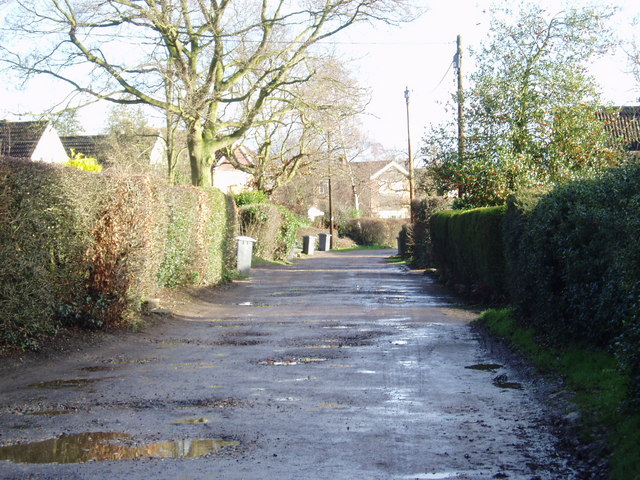
Forest walks
Good match
Public woodland
Free
Trails nearby
Within roughly 5 km
🚶
Walking
▾
7 signed routes nearby · 32 public paths nearby
Signed route nearbyPublic paths
Centenary CircleWalking route34 km▾
Named routeLength 34 kmRound tripRegional walking route
Admiral McHardy WayWalking route▾
Named routeLocal walking route
Blakes Wood to Lingwood Common Walk, DanburyWalking route4 km▾
Woodland paths can be hilling in places, with occasional protruding tree roots. Paths can become muddy, suitable footwear is necessary. Not suitable for pushchairs, wheelchairs or cycles. Can be connected with Lingwood trails and Danbury trails.
Named routeLength 4 kmDuration 01:30Round tripLocal walking route
Danbury Common to Lingwood Common Walk, DanburyWalking route2.4 km▾
Easy walking on a waymarked route. There are grassy tracks and some tree routes. May not be suitable for pushchairs or wheelchairs as some areas can get muddy in wet weather and during the winter. Can be connected with Blakes wood and Lingwood trails.
Named routeLength 2.4 kmDuration 01:00Round tripLocal walking route
St Peter's WayWalking route66 km▾
Named routeLength 66 kmRegional walking route
Horne Rowpublic footpath · 84 m▾
Public pathpublic footpathLength 84 mPath type: service
Fitzwalter Lanepublic footpath · 18 m▾
Public pathpublic footpathLength 18 mPath type: service
Horne Rowpublic footpath · 237 m▾
Public pathpublic footpathLength 237 mPath type: service
🚴
Cycling
▾
33 signed routes nearby
Signed route nearby
EuroVelo 2 - Capitals Route - part United Kingdom 8Cycling route▾
Named routeRef EV2International cycle route
EuroVelo 2 - Capitals Route - part United Kingdom 7Cycling route▾
Named routeRef EV2International cycle route
Regional Route 50Cycling route▾
Named routeRef 50Regional cycle route
NCN National Route 1Cycling route▾
Named routeRef 1National Cycle Network
EuroVelo 12 - North Sea Cycle Route - part United KingdomCycling route▾
Named routeRef EV12International cycle route
Main RouteCycling route1.2 km▾
Named routeRef 1Length 1.2 kmNational Cycle NetworkTraffic-freeSurface unsealedloose
🐴
Horse riding
▾
17 public paths nearby
Public paths
Pump Lanebridleway · 99 m▾
Public pathbridlewayLength 99 mPath type: service
Ludgores Lanebridleway · 283 m▾
Public pathbridlewayLength 283 mPath type: service