Plan your visit
Getting here
51.76614, -0.21011
Visiting this summer
Seasonal nature notes and what to look for now
Visiting this summer
Seasonal nature notes and what to look for now
- 🌞Midsummer — early morning visits most comfortable; look for deer fawns in quieter clearings
- 🐕Early mornings are best for dog walks in summer — visit before 9am to avoid the heat and find quieter trails
- 🅿️Salisbury Square Car Park 30m away — 20 car parks within reach
🌤️ Visiting this summer
- 🌞Midsummer — early morning visits most comfortable; look for deer fawns in quieter clearings
- 🐕Early mornings are best for dog walks in summer — visit before 9am to avoid the heat and find quieter trails
- 🅿️Salisbury Square Car Park 30m away — 20 car parks within reach
Good to know
- £Free to visit — no entry charge
- 🐕Dogs welcome
Best for
Dog walks
Strong match
Dogs allowed — public woodland
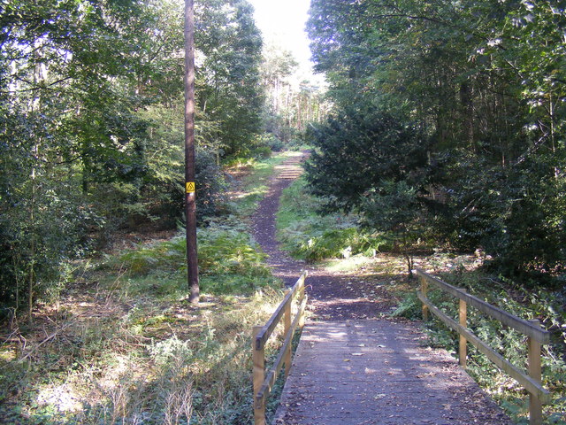
Wildlife
Strong match
Deciduous woodland priority habitat
Bird watching
Strong match
Deciduous woodland — woodpeckers, warblers and woodland birds
Cycling
Good match
Named cycling route nearby: NCN12 proposed rerouting
Foraging
Good match
Deciduous woodland — fungi, berries and wild garlic
Forest walks
Good match
Public woodland
Trails nearby
Within roughly 5 km🚶Walking
16 signed routes nearby · 44 public paths nearby
Signed route nearbyPublic paths
Walking
Old Railway & River LeaWalking route7.9 km
After a brief visit to the remains of Wheathampstead railway station, the walk follows the Ayot Greenway (route of the Permanent Way) to Ayot Green. The return journey follows the course of the River Lea.
Lea Valley WalkWalking route
Wheathampstead to Shaw's Corner Circular Walk, Shaw's CornerWalking route12.2 km
Mostly easy walking across established footpaths and fields. There are some steps along the route, and a steep gully at section 2. Assistance dogs only at Shaw's Corner.
Red TrailWalking route
Hertfordshire WayWalking route267 km
Long distance path
Great North Roadpublic footpath · 93 m
Bull Stag Greenpublic footpath · 31 m
Arm and Sword Lanepublic footpath · 87 m
🚴Cycling
107 signed routes nearby
Signed route nearby
Cycling
NCN12 proposed reroutingCycling route
Ayot GreenwayCycling route
Route 12Cycling route
Route 61Cycling route34 km
Route 61 travels from Maidenhead to Hatfield, Welwyn Garden City and Hertford before arriving near Hoddesdon.
NCN National Route 57Cycling route
NCN 12 delistedCycling route
Wildlife to spot
Photos
Weather for this location
Loading local forecast…
Nearby places
Useful places within 5 km
Own or manage this place?
Claim this listing to keep details accurate, add photos, and highlight what makes it special — free.
Claim this pageHow was your visit?
How useful was the information on this page?
id: f933be77-04ef-4b88-9a64-9491650fce8e