🌞Midsummer — early morning visits most comfortable; look for deer fawns in quieter clearings
🐕Early mornings are best for dog walks in summer — visit before 9am to avoid the heat and find quieter trails
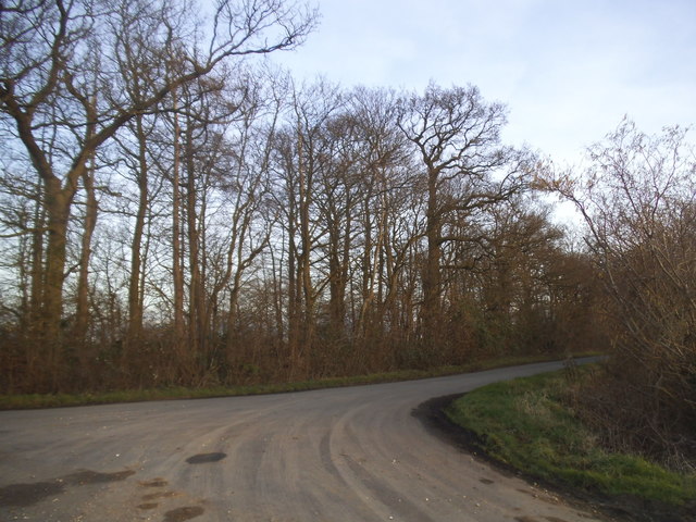
📍Open access throughout summer — no booking required
🌤️ Visiting this summer
🌞Midsummer — early morning visits most comfortable; look for deer fawns in quieter clearings
🐕Early mornings are best for dog walks in summer — visit before 9am to avoid the heat and find quieter trails
📍Open access throughout summer — no booking required
Good to know
£Free to visit — no entry charge
🐕Dogs welcome
Best for
5 activities
🐶
Dog walks
Strong match
Dogs allowed — public woodland
Free
🦉
Wildlife
Strong match
Deciduous woodland priority habitat
Free
🦅
Bird watching
Strong match
Deciduous woodland — woodpeckers, warblers and woodland birds
Free
🌿
Foraging
Good match
Deciduous woodland — fungi, berries and wild garlic
Varies
🌲
Forest walks
Good match
Public woodland
Free
Trails nearby
Within roughly 5 km
🚶
Walking
▾
6 signed routes nearby · 2 public paths nearby
Signed route nearbyPublic paths
Harcamlow WayWalking route▾
Named routeRef HARRegional walking route
Greenwich Meridian TrailWalking route440 km▾
A long-distance walk that follows the line of the Prime Meridian. Inaugurated in 2009, to coincide with the 125th anniversary of the Greenwich Meridian.
Named routeRef GMTLength 440 kmRegional walking route
Hertfordshire WayWalking route267 km▾
Long distance path
Named routeLength 267 kmRegional walking route
New River PathWalking route▾
Named routeRef NRRegional walking route
Beyond Hartham CommonWalking route▾
Named routeRound tripLocal walking route
🚴
Cycling
▾
19 signed routes nearby
Signed route nearby
Route 61Cycling route34 km▾
Route 61 travels from Maidenhead to Hatfield, Welwyn Garden City and Hertford before arriving near Hoddesdon.
Named routeRef 61Length 34 kmNational Cycle Network
Main RouteCycling route78 m▾
Named routeRef 61Length 78 mNational Cycle NetworkTraffic-freeSurface unsealedfirm
N/ACycling route96 m▾
Named routeLength 96 mNational Cycle NetworkTraffic-freeSurface asphalt
Main RouteCycling route808 m▾
Named routeRef 61Length 808 mNational Cycle NetworkTraffic-freeSurface unsealedfirm
Main RouteCycling route164 m▾
Named routeRef 61Length 164 mNational Cycle NetworkTraffic-freeSurface asphalt
Main RouteCycling route444 m▾
Named routeRef 61Length 444 mNational Cycle NetworkTraffic-freeSurface asphalt
🐴
Horse riding
▾
2 public paths nearby
Public paths
No named routes yet. Public paths are shown on the map.