Getting here
51.86945, 0.34578
Visiting this summer
Seasonal nature notes and what to look for now
Visiting this summer
Seasonal nature notes and what to look for now
- 🌞Midsummer — early morning visits most comfortable; look for deer fawns in quieter clearings
- 🐕Early mornings are best for dog walks in summer — visit before 9am to avoid the heat and find quieter trails
- 🅿️Parking 287m away — 8 car parks within reach
🌤️ Visiting this summer
- 🌞Midsummer — early morning visits most comfortable; look for deer fawns in quieter clearings
- 🐕Early mornings are best for dog walks in summer — visit before 9am to avoid the heat and find quieter trails
- 🅿️Parking 287m away — 8 car parks within reach
Good to know
- £Free to visit — no entry charge
- 🐕Dogs welcome
Best for
Dog walks
Strong match
Dogs allowed — public woodland
Wildlife
Strong match
Deciduous woodland priority habitat
Bird watching
Strong match
Deciduous woodland — woodpeckers, warblers and woodland birds
Cycling
Good match
Named cycling route nearby: Route 16
Foraging
Good match
Deciduous woodland — fungi, berries and wild garlic
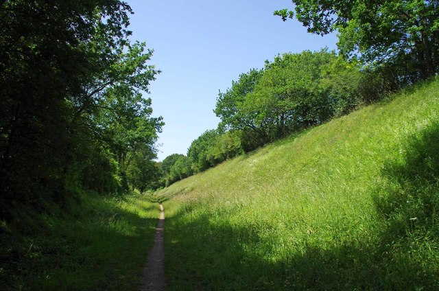
Forest walks
Good match
Public woodland
Trails nearby
Within roughly 5 km🚶Walking
2 signed routes nearby · 25 public paths nearby
Signed route nearbyPublic paths
Walking
Harcamlow WayWalking route
London to Walsingham - stage 03Walking route
The Flitch Way - Dunmow Cuttingpublic footpath · 59 m
🚴Cycling
35 signed routes nearby
Signed route nearby
Cycling
Regional Route 50Cycling route
Route 16Cycling route
N/ACycling route26 m
Main RouteCycling route66 m
Main RouteCycling route18 m
N/ACycling route4.5 km
🐴Horse riding
11 public paths nearby
Public paths
Horse riding
The Flitch Waybridleway · 197 m
The Flitch Waybridleway · 231 m
The Flitch Waybridleway · 150 m
Buttleys Lanebyway open to all traffic · 876 m
Buttleys Lanebyway open to all traffic · 151 m
Wildlife to spot
Photos
Weather for this location
Loading local forecast…
Nearby places
Useful places within 5 km
Own or manage this place?
Claim this listing to keep details accurate, add photos, and highlight what makes it special — free.
Claim this pageHow was your visit?
How useful was the information on this page?
id: 68b3b58d-32e5-4ed5-bc08-250948c30927