Plan your visit
Getting here
51.96373, -0.29178
Visiting this summer
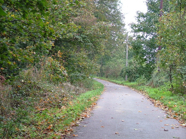
Seasonal nature notes and what to look for now
Visiting this summer
Seasonal nature notes and what to look for now
- 🌞Midsummer — early morning visits most comfortable; look for deer fawns in quieter clearings
- 🐕Early mornings are best for dog walks in summer — visit before 9am to avoid the heat and find quieter trails
- 🅿️Parking 351m away — 10 car parks within reach
🌤️ Visiting this summer
- 🌞Midsummer — early morning visits most comfortable; look for deer fawns in quieter clearings
- 🐕Early mornings are best for dog walks in summer — visit before 9am to avoid the heat and find quieter trails
- 🅿️Parking 351m away — 10 car parks within reach
Good to know
- £Free to visit — no entry charge
- 🐕Dogs welcome
Best for
Dog walks
Strong match
Dogs allowed — public woodland
Wildlife
Strong match
Deciduous woodland priority habitat
Bird watching
Strong match
Deciduous woodland — woodpeckers, warblers and woodland birds
Foraging
Good match
Deciduous woodland — fungi, berries and wild garlic
Forest walks
Good match
Public woodland
Mountain biking
Good match
Named MTB route nearby: Icknield Way Cycle Trail
Trails nearby
Within roughly 5 km🚶Walking
14 signed routes nearby · 4 public paths nearby
Signed route nearbyPublic paths
Walking
The Chiltern WayWalking route275 km
A waymarked long-distance footpath in southern England
Icknield Way PathWalking route169 km
long distance footpath 169 km
Hertfordshire WayWalking route267 km
Long distance path
The Chiltern Way Northern ExtensionWalking route
Long distance path
STOOP - Stevenage Outer Orbital PathWalking route
A 27 mile circular walking route around Stevenage
Westmill Lanepublic footpath · 40 m
Westmill Lanepublic footpath · 134 m
Westmill Lanepublic footpath · 4 m
🚴Cycling
38 signed routes nearby
Signed route nearby
Cycling
Route 12Cycling route
Chilterns Cycleway (road alternative)Cycling route
Recreational Cycle Route 16Cycling route
Local circular? cycle route
Chilterns CyclewayCycling route
Route 12Cycling route
Main RouteCycling route250 m
🚵Mountain biking
1 signed route nearby
Signed route nearby
Mountain biking
Icknield Way Cycle TrailMountain bike route226 km
This is the off-road or mountain cycling route of the Icknield Way Trail.
🐴Horse riding
12 public paths nearby
Public paths
Horse riding
Hambridge Waybridleway · 432 m
Track down side of a field, obviously can be muddy
Westmill Lanerestricted byway · 45 m
King Georges Closebridleway · 139 m
Icknield Waybridleway · 499 m
Icknield Waybridleway · 17 m
Wildlife to spot
Photos
Weather for this location
Loading local forecast…
Nearby places
Useful places within 5 km
Own or manage this place?
Claim this listing to keep details accurate, add photos, and highlight what makes it special — free.
Claim this pageHow was your visit?
How useful was the information on this page?
id: 8fd4eae1-f81f-4a6a-beac-4df2626faea6